In Hawaiian language the term ’kīpuka‘ refers to the island of forest left untouched by a surrounding lava flow as it splits into two rivers which later rejoin, heading downhill to the sea. Many of these images record cultural kīpuka, images of one landscape being surrounded, sometimes being submerged or sometimes re-emerging in the midst of another. See the essay "Apologia" in the link above.

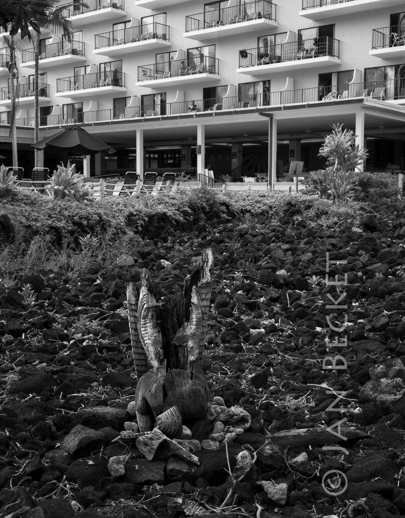 Kapuanoni, 2004
15287 hits
A heiau in the complex at Kahaluʻu said to have been built or enlarged by Kalaniopuʻu. The hotel has since been demolished by the landowner.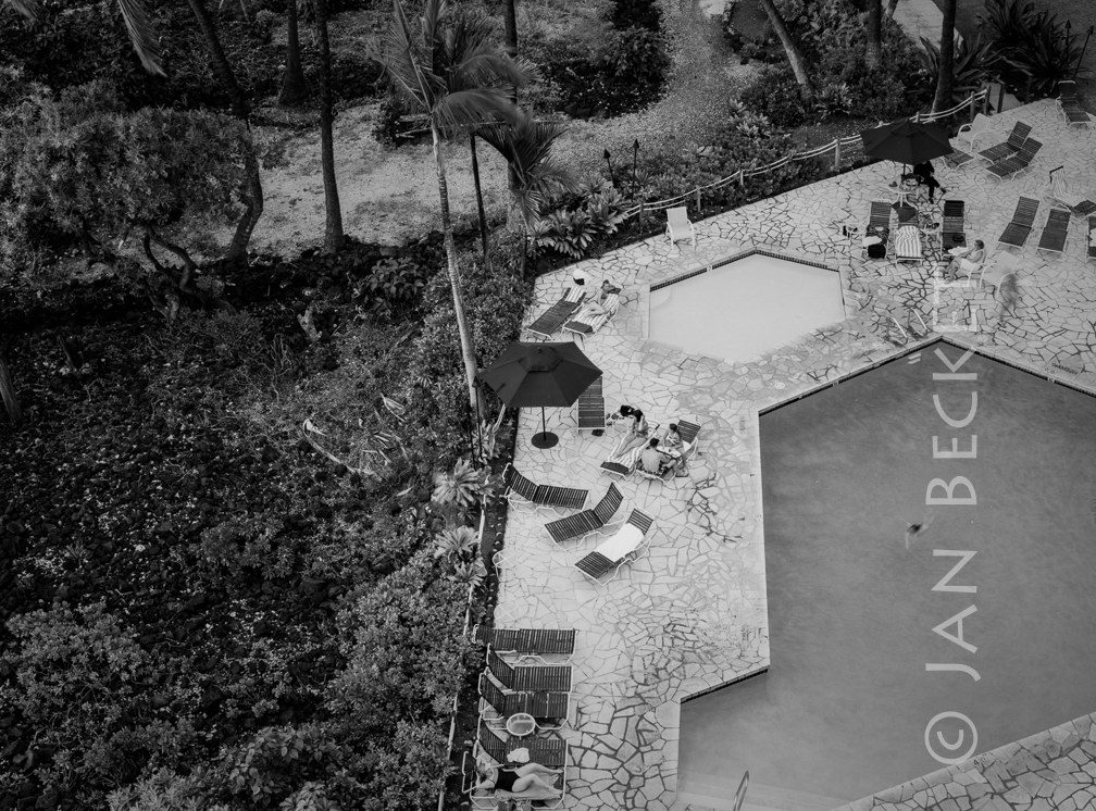 Kapuanoni, 2008
22837 hits
The remaining portion of Kapuanoni, truncated by a hotel swimming pool. The hotel and its pool have been demolished since this image was made, and the heiau is to be reconstructed.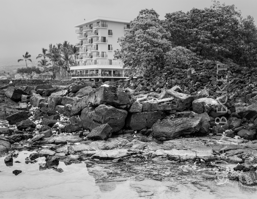 Hāpaialiʻi 2013
25135 hits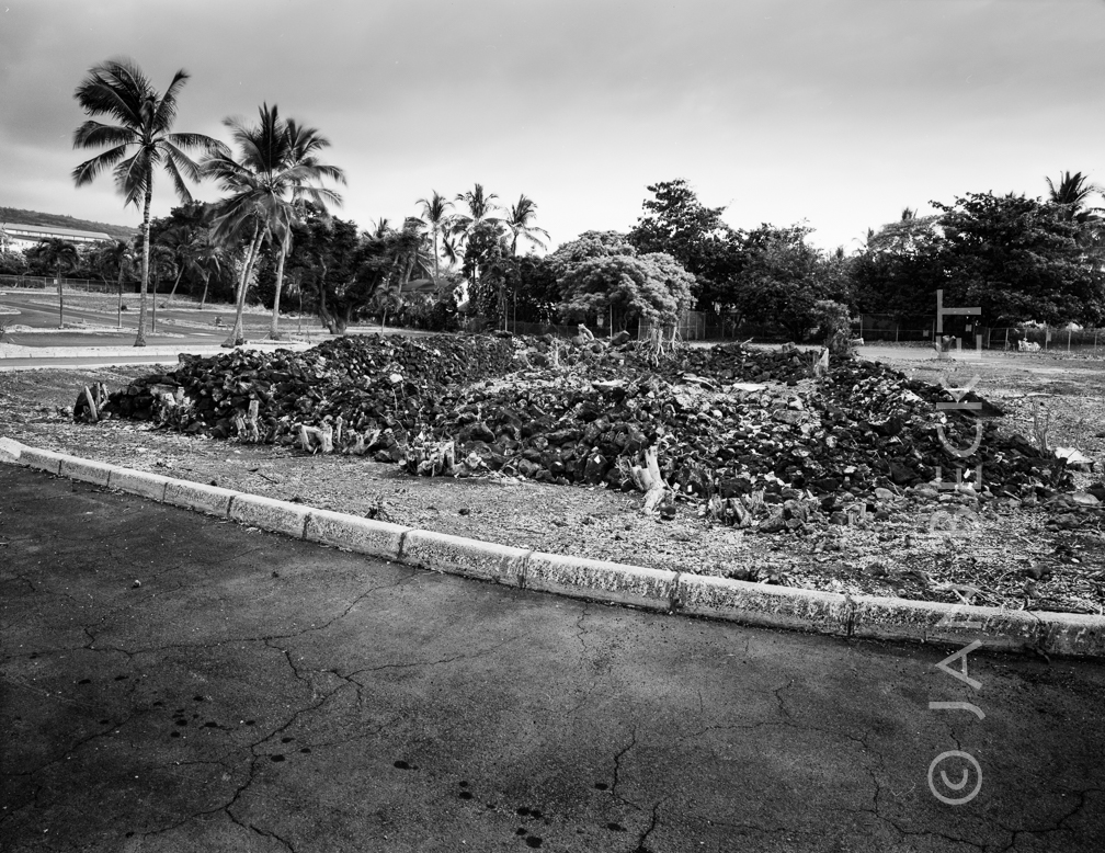 Makoleʻa, 2008
19267 hits
The heiau mauka of Keʻeku, associated with the aliʻi wahine Makoleʻa. It has since been reconstructed, along with Keʻekū and Hāpaialiʻi Heiau.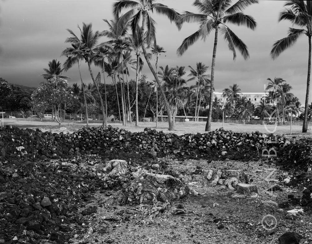 Makoleʻa, 2008
1774 hits
Makoleʻa Heiau has been reconstructed by the landowner, and its surrounding complex turned into a cultural preserve. The heiau is connected to the aliʻi wahine Makoleʻa.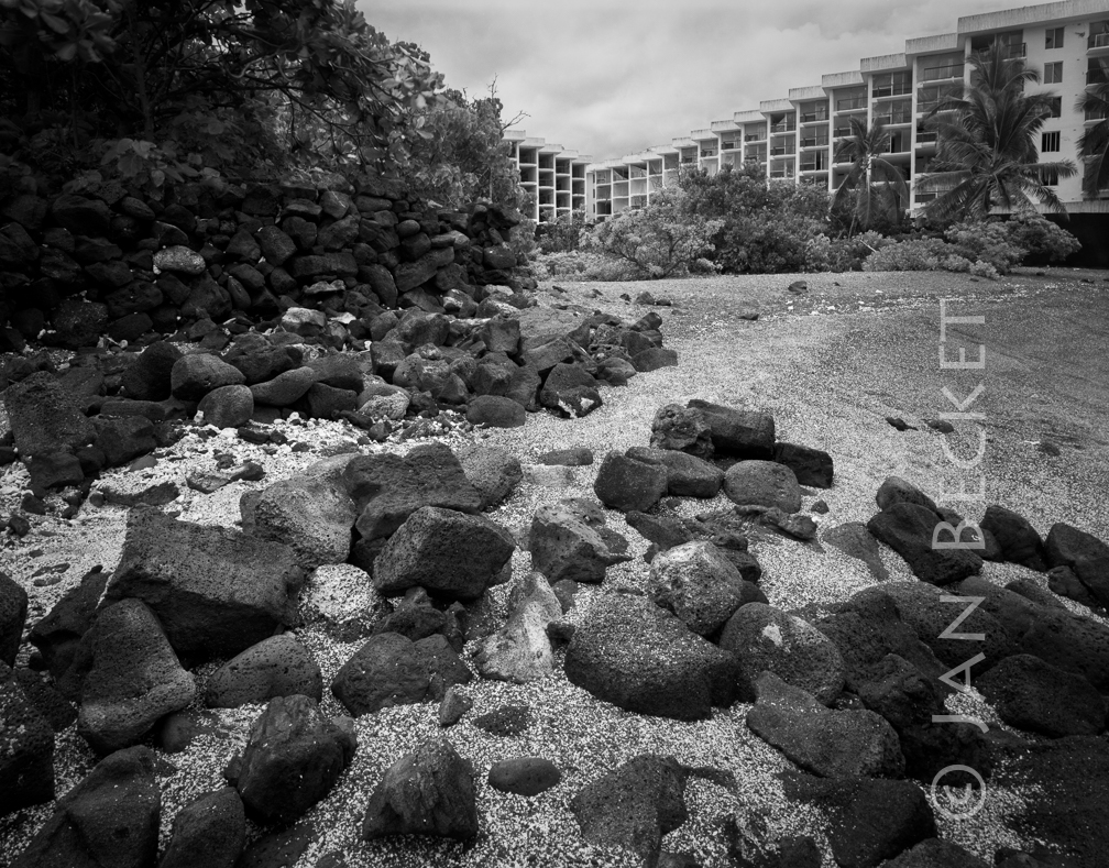 Keʻekū, 2005
8415 hits
The hotel in the background has since been demolished and the heiau reconstructed by noted stone mason Billy Fields.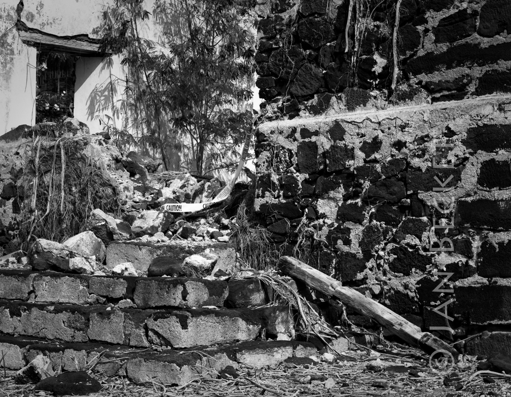 ʻŌhiʻamukumuku, 2007
18663 hits
The remains of Helani Church, built on ʻŌhiʻamukukuku Heiau at Keauhou.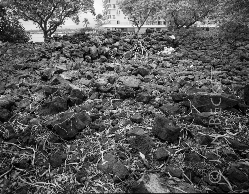 Hāpaiali’i Heiau, 2004
18721 hits
Before the reconstruction of Hāpaiali’i. The hotel in the distance has since been demolished.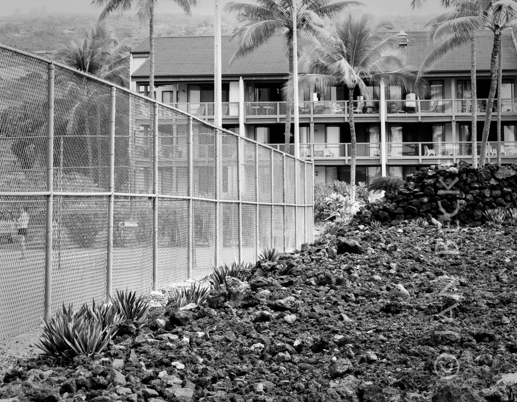 Paniau, 2006
19118 hits
The residence of Lonoikamakahiki at Paniau, according to the Kekahuna map. Now, the location of the Keauhou Surf and Racket Club.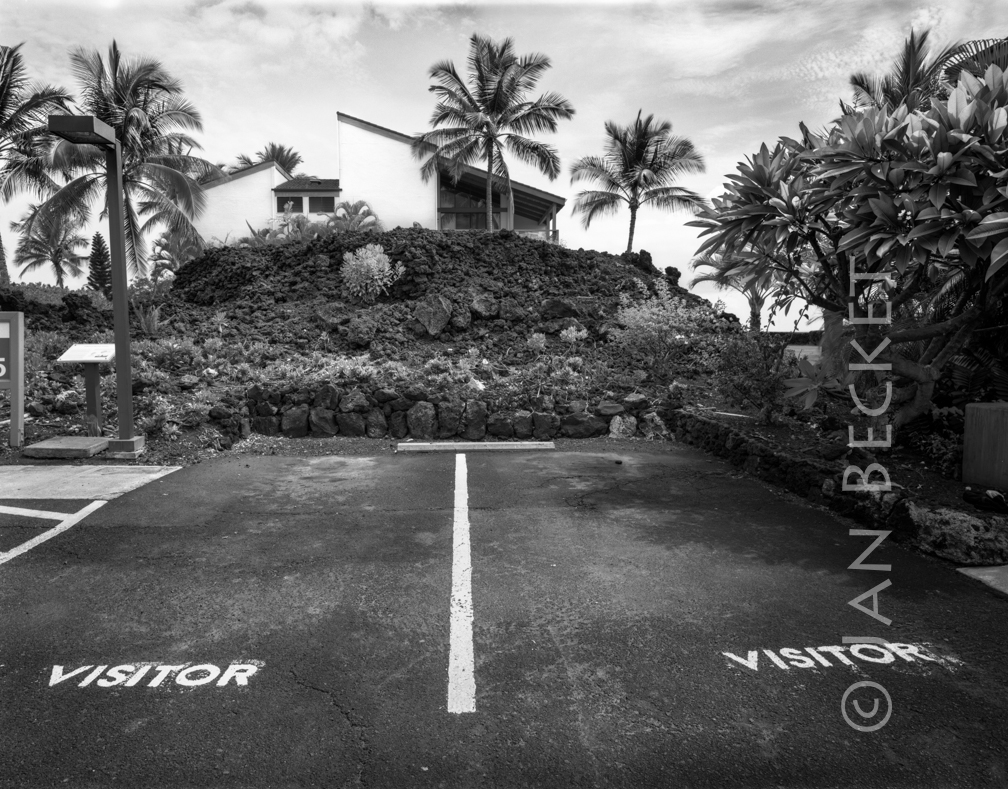 Iniʻikawai Heiau, 2005
15396 hits
A heiau within a resort complex in Kahaluʻu.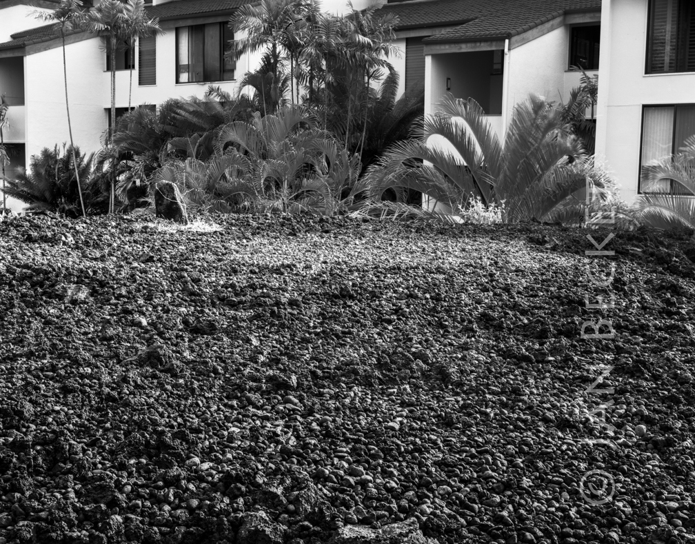 Iniʻikawai Heiau, 2004
2153 hits
A heiau within a resort complex in Kahaluʻu. Kualiʻiliʻi Heiau, 2004
19506 hits
A heiau in Kailua-Kona on the grounds of a gated condominium complex.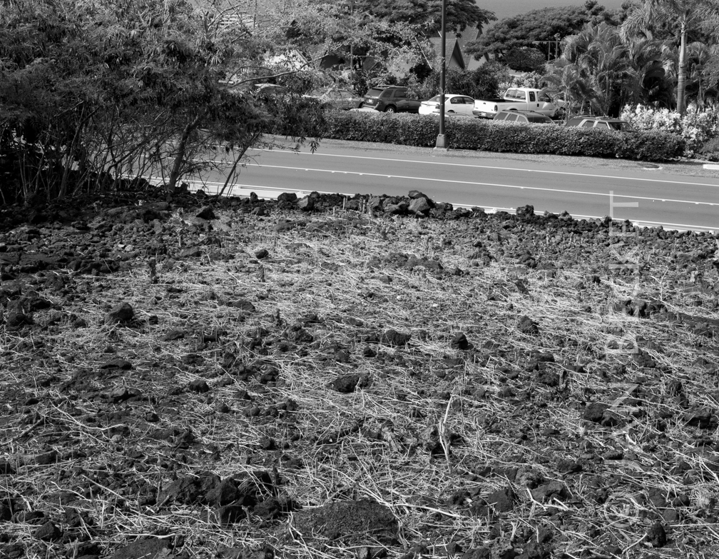 Holualoa, 2007
20208 hits
The end of the vast Holua Loa at Keauhou. Cultural anthropologist Marion Kelly and Kenneth Emory witnessed the bulldozing of the lower portion of the heiau for the construction of the resort on the other side of the road. The landowner arranged for the demolition to happen on a Sunday, according to Marion Kelly.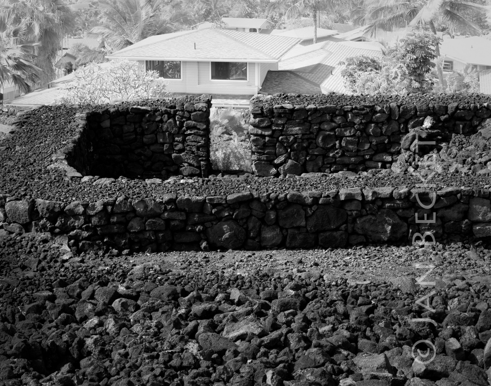 Kealakowaʻa, 2006
18777 hits
A heiau associated with canoe building. It had been reconstructed by noted stone mason Billy Fiends, but suffered major damage in a large earthquake several years after this image was made.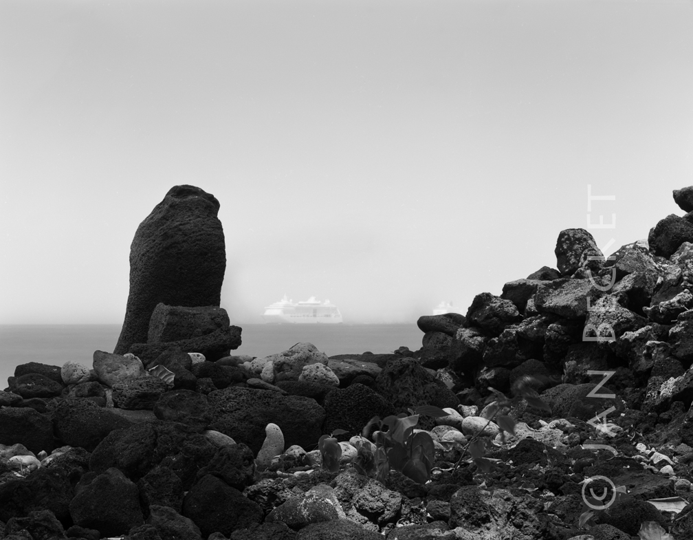 Keolanahihi, 2008
18764 hits
A pōhaku at the complex of Keolanahihi in Kailua-Kona.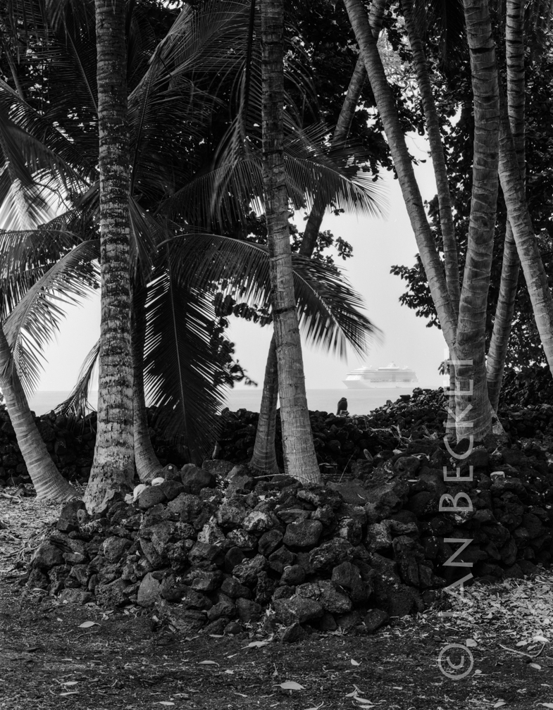 Keolanahihi, 2008
20143 hits
A pōhaku at the complex of Keolanahihi in Kailua-Kona.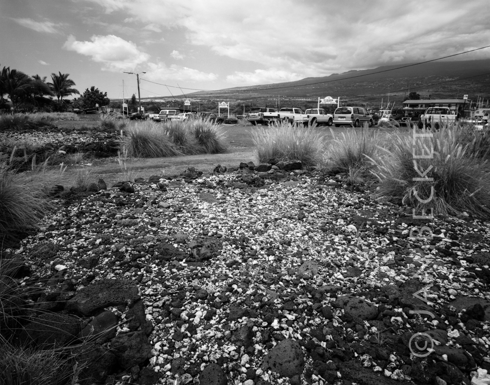 Ālula, 2005
19766 hits
One of several platforms at Haleolono, this one in a parking lot. The name of the heiau, according to a local Hawaiian Kumu Hula, is Ālula.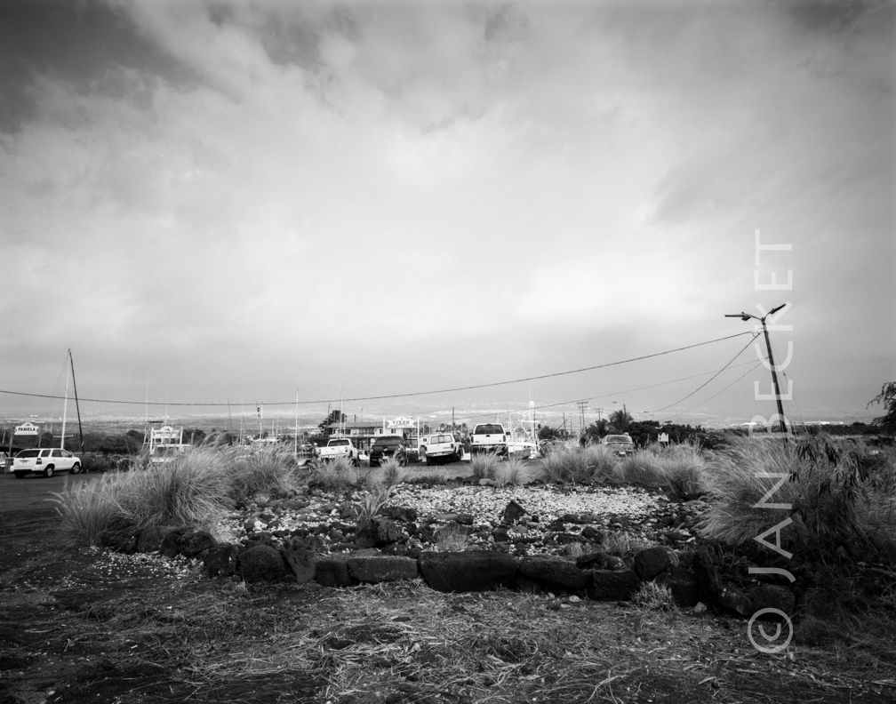 Ālula, 2005
19856 hits
One of several platforms at Haleolono, this one in a parking lot. The name of the heiau, according to a local Hawaiian Kumu Hula, is Ālula.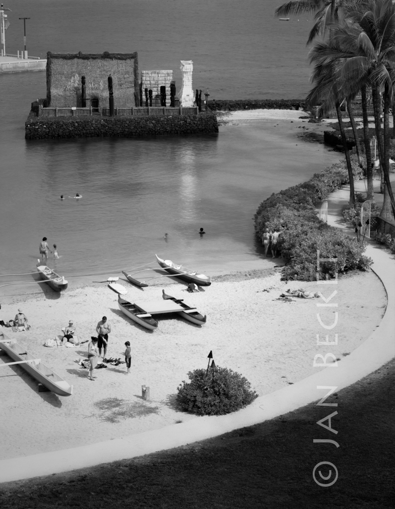 Ahuena Heiau, 2006
1397 hits
This is not the original location of Ahuena, which stood nearby in what is now an adjacent private residence. Cultural practitioner David Roy was instrumental in having the stones of the heiau moved to where they stand now.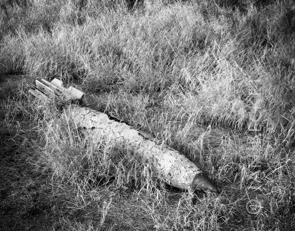 Ordnance at Kahoʻolawe, 2015
3001 hits
The island was a naval bombing range for decades after WWII. Bombs like this can work their way to the surface, even in places scanned and cleared of UXO (unexploded ordnance).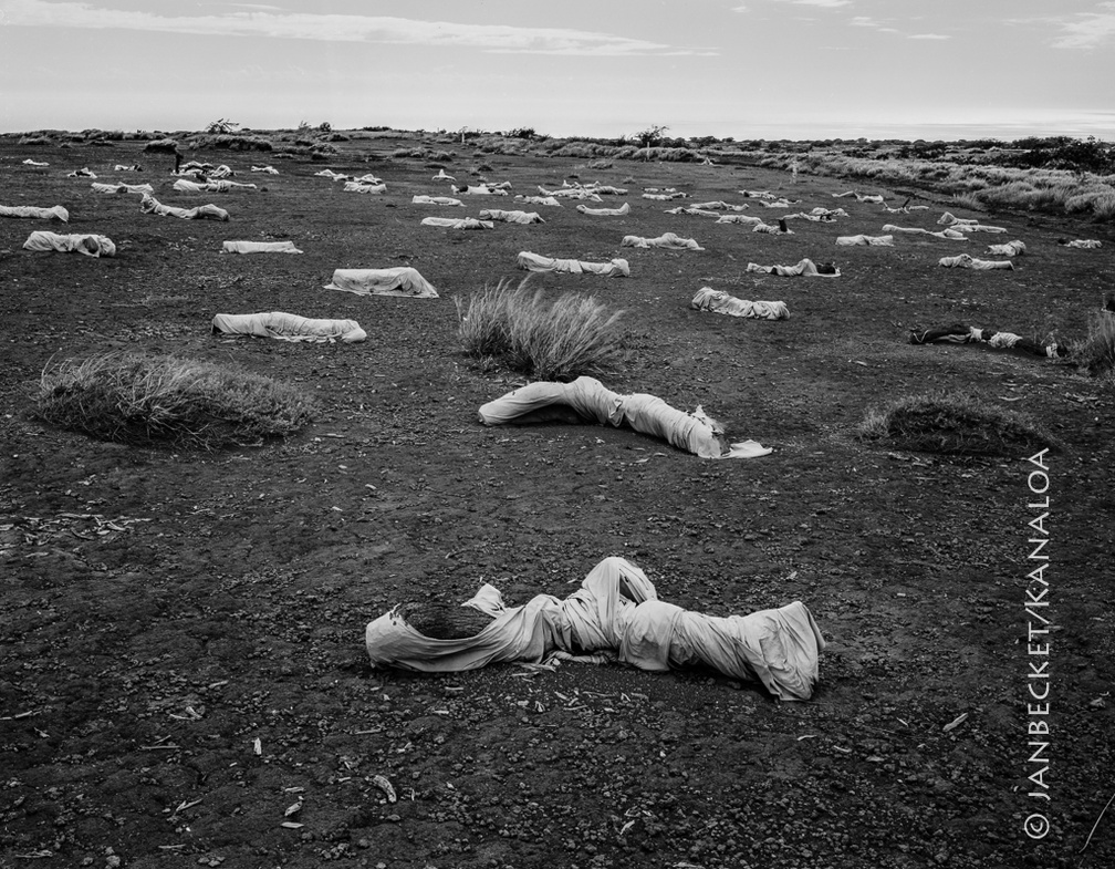 Kahoʻolawe, 2017
1779 hits
Sheets wrapped around kiawe logs, an attempt to catch topsoil being blown away by the strong winds that sweep the upland.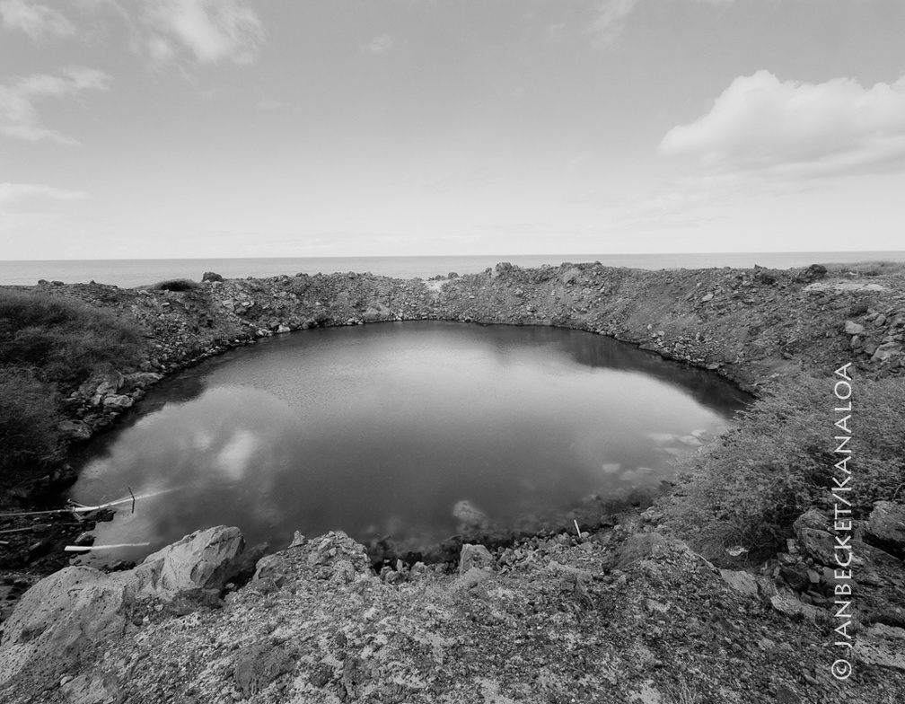 Kahoʻolawe, 2017
1896 hits
Several 500-ton blasts of TNT made this crater in 1965. It was an attempt by the US Navy to mimic the effects of a nuclear blast and to study its efffects on ships moored nearby. Water in the crater used to be brackish but is now entirely saline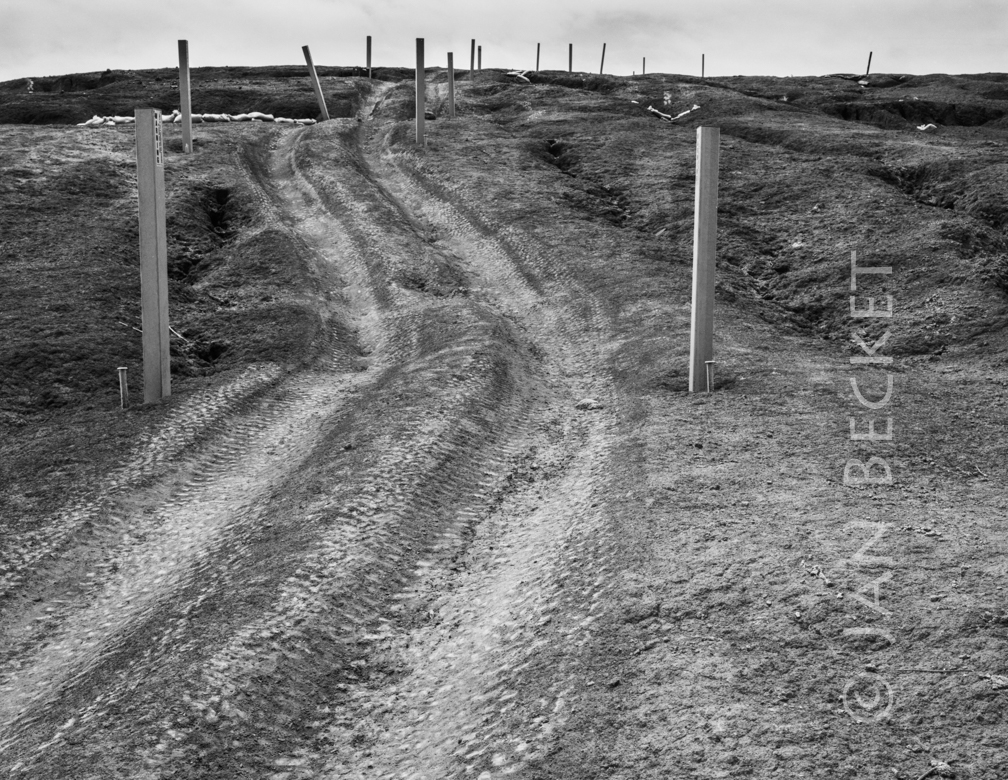 UXO markers, Kahoʻolawe, 2016
2482 hits
Between the stakes lies the section cleared of UXO (unexploded ordnance) down to a depth of four feet. Outside the markers, the terrain has only been surface (visually) cleared. Other sections of the island in more inaccessible terrain have never been cleared and are off limits.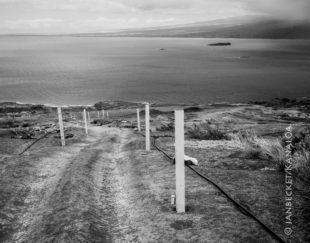 Kahoʻolawe, 2017
1832 hits
This dirt track allows access to sections of the hard pan being replanted with native vegetation. It lies just above Hakioawa Bay. Between the posts, ground has been cleared for UXO down to a depth of four feet.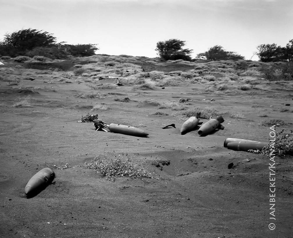 UXO at Kahoʻolawe, 1994
3323 hits
1994. Ordnance projectiles gathered along the side of the dirt road at Kealialalo, part of the UXO clearance prior to the island being returned to the State of Hawaiʻi. Much UXO remains, however.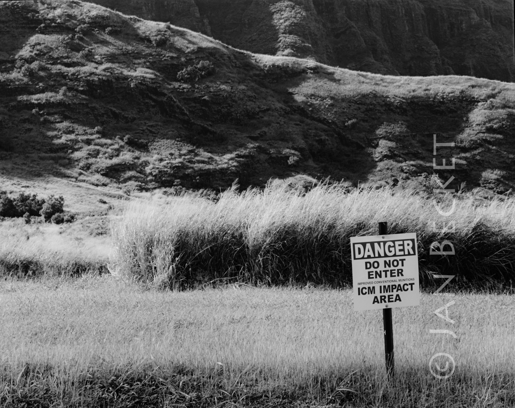 Off-limits area, Mākua, 2005
2707 hits
This area is permanently off limits because it is contaminated by "improved conventional munitions." Small round bombs will explode decades later if they are slightly moved.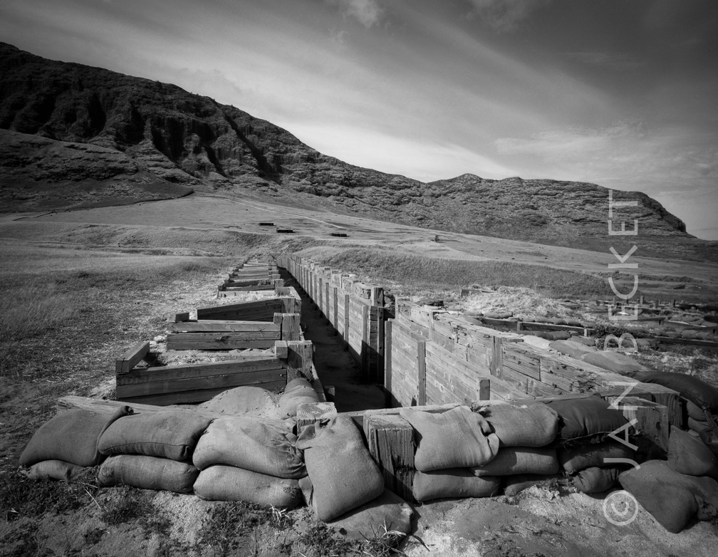 US Army trench, Mākua Valley, 2002
2608 hits
A structure for live fire training exercises at Mākua.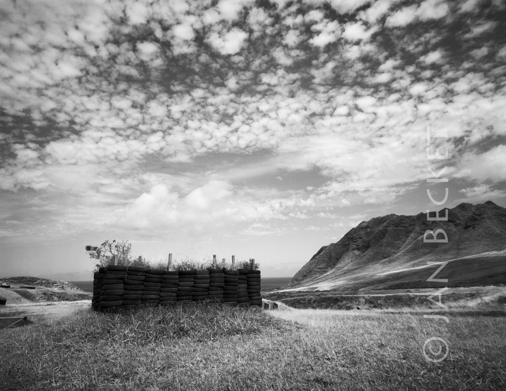 Grenade training enclosure, Mākua, 2005
2643 hits
An enclosure built of tires for grenade throwing practice.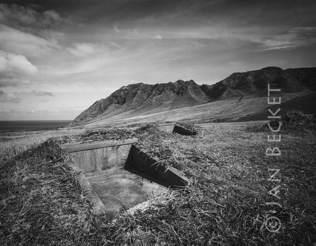 Training emplacement, Mākua, 2003
2647 hits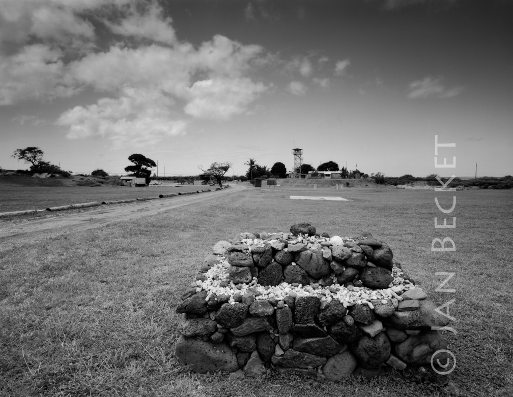 The ahu at Mākua, 2005
2508 hits
The ahu (shrine) is modern, constructed for cultural accesses to the valley conducted by Mālama Mākau, a community organization. In the distance lies the US Army observation tower for live fire training exercises.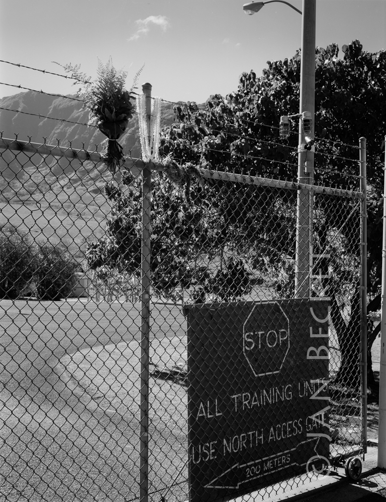 Main gate, Mākua, 2009
2564 hits
The entrance to Mākua. Until recent decades the valley was unfenced and open.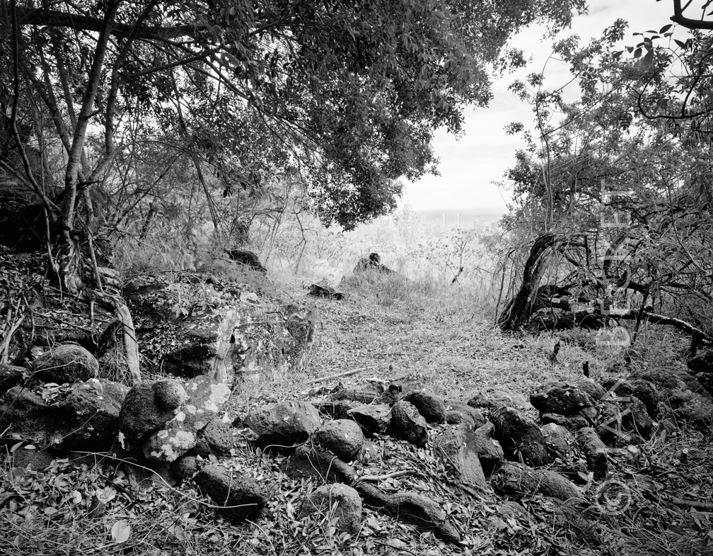 Enclosure at Waʻahila, 1998
2336 hits
The intact enclosure at Waʻahila, before the destruction of the low wall in the foreground by downhill mountain bikers. The site is now occupied by the tents of a homeless person.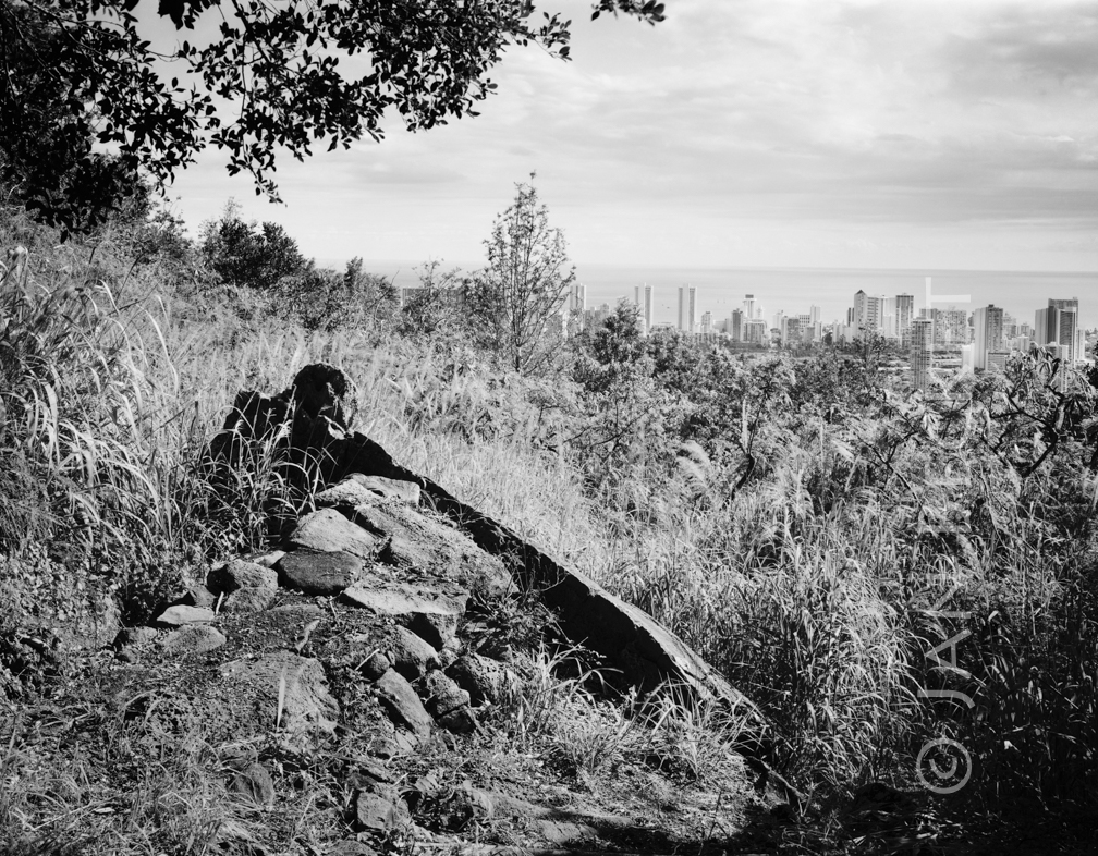 Pōhaku within an enclosure, Waʻahila, 2002
2331 hits
Downhill mountain bikers destroyed the rear / mauka wall of the enclosure in order to construct the ramp, which allowed them to jump over the pōhaku and become airborne.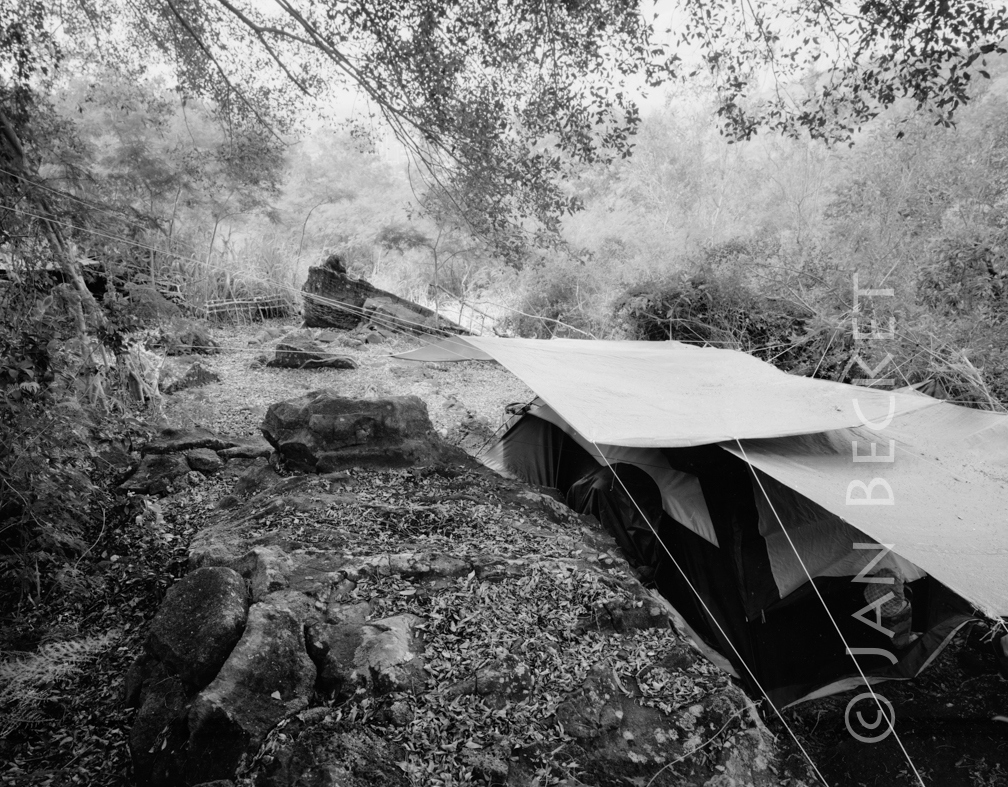 Pōhaku and homeless camp at Wa’ahila, 2010
926 hits
The pōhaku in the distance lies in an enclosure above the UH faculty apartments on Dole St. in Honolulu. A homeless lady has set up camp inside the enclosure. Cultural experts from a large Native Hawaiian organization have determined that the site is a heiau.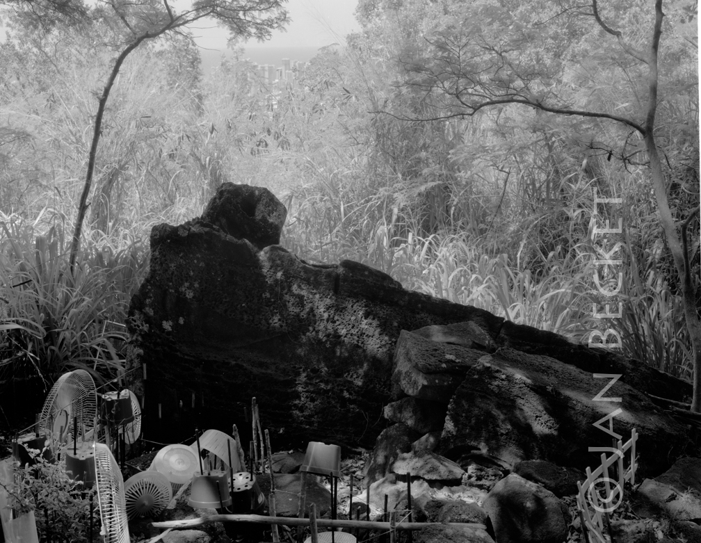 Pōhaku at Waʻahila, 2013
951 hits
Objects brought to the base of the pōhaku by the homeless lady who has set up camp within the enclosure. Cultural experts from a large Native Hawaiian organization have determined that the site is a heiau.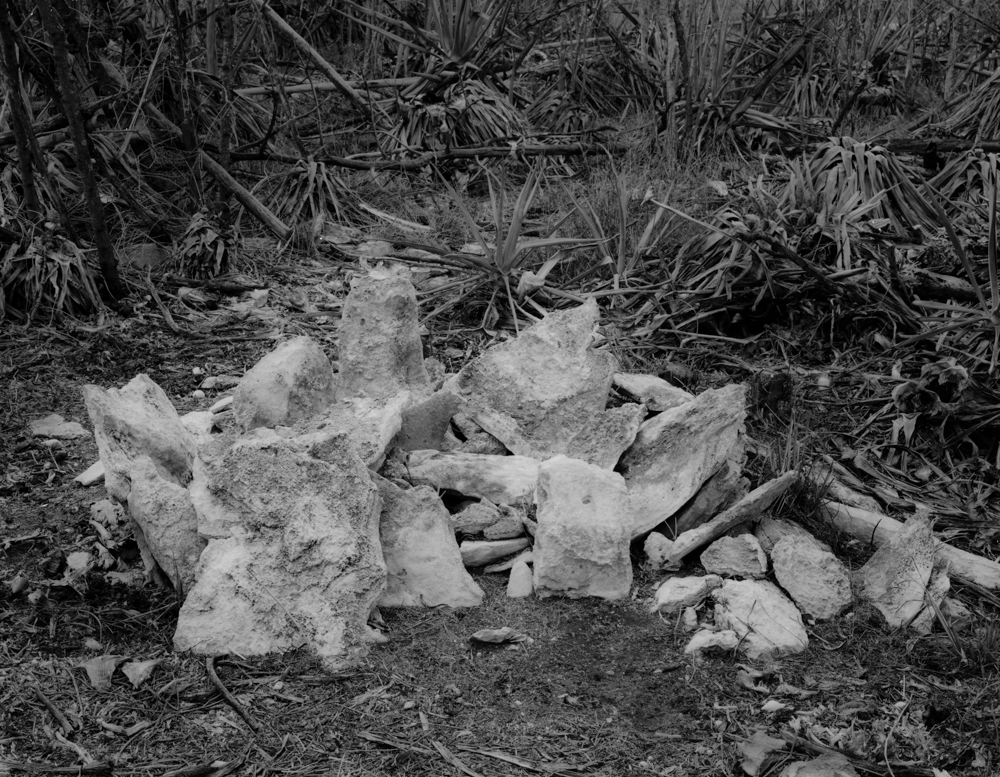 Small ahu (shrine) near the main gate, Kalaeloa, 2001
2384 hits
This shrine, visited in 2001 with cultural anthropologist Marion Kelly, was destroyed by the US Army in order to construct a large FBI building. Army archaeologists maintain that this is not a Hawaiian cultural site and that it was built on land that had been previously bulldozed during WWII for the construction of quonset huts.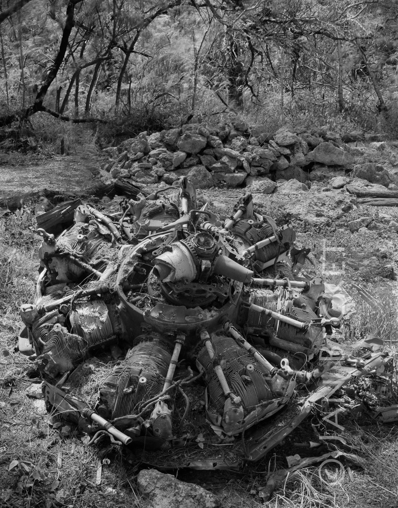 Area 1753 - engine from WW II plane crash
3018 hits
This plane crashed during WW II directly on the paved ala (pathway) in several other images in this album. All of the other fuselage has been removed, but the engine remains.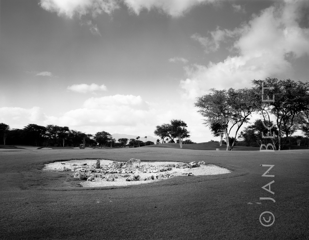 ʻEwa Beach International Golf Course
1807 hits
A probable family shrine, now a sand trap. The shrine was restored by cultural practitioner and anthropologist Rudy Mitchel.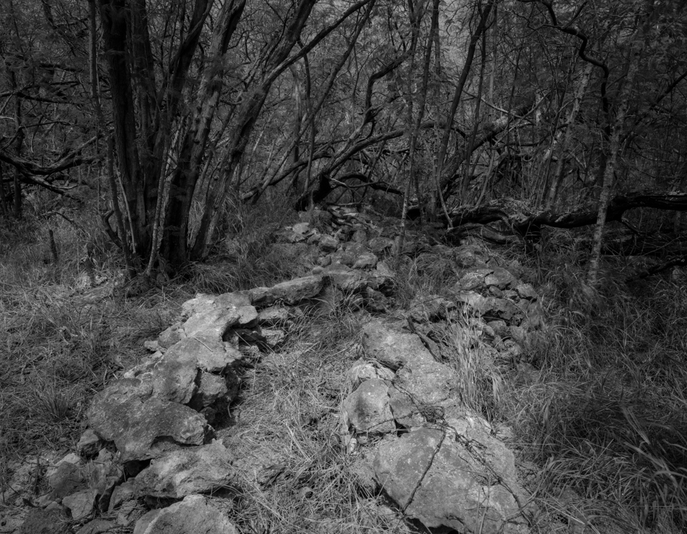 Unusual zig-zag structure, Kalaeloa, 2008
2358 hits
This puzzling zig-zag structure barely escaped destruction by an organization that leased an adjacent parcel for car racing. Not visible in the image are upright stones forming the walls of the structure - a traditional construction technique in Tahiti sometimes also seen at Kalaeloa. Some archaeologists maintain that this is a modern military training structure, based on the presence of barbed wire.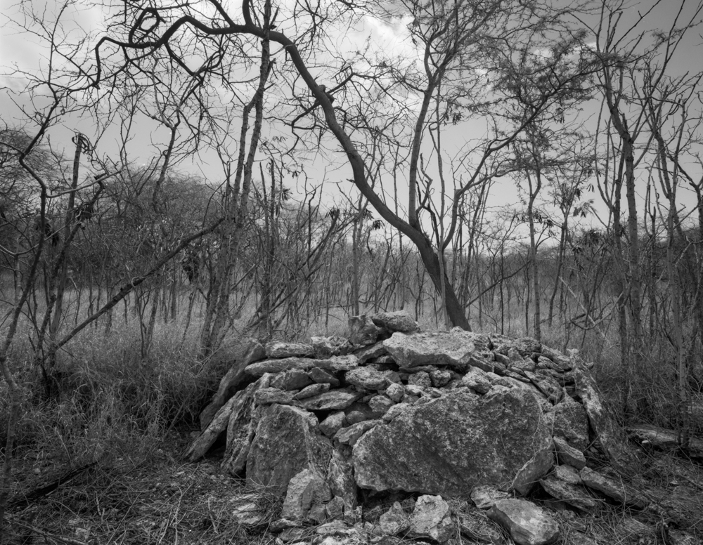 Platform in area 1746, Kalaeloa, 2001
2354 hits
This platform was bulldozed by the US Army in a cleanup of an area contaminated by lead shotgun pellets at a recreational trap and skeet shooting range. Army archaeologists maintained that this is not a Hawaiian cultural structure. It was taken apart prior to being bulldozed. No bones or other cultural artifacts were found inside.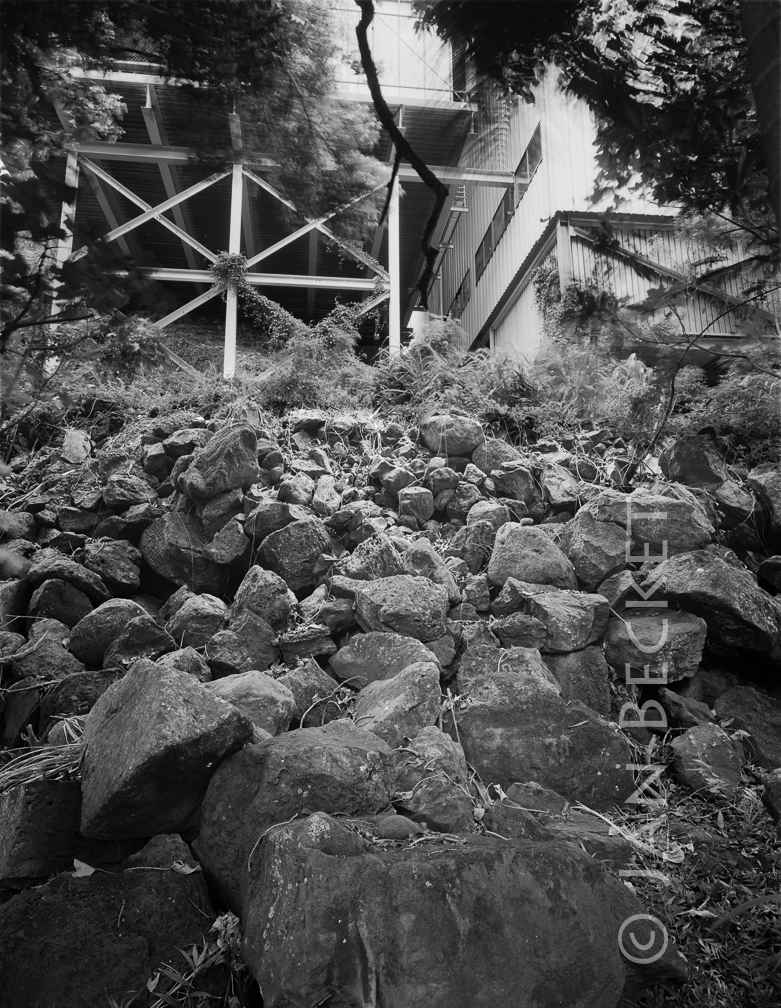 Waipao Heiau, Hālawa
2695 hits
These disturbed stones are all that remains of Waipao Heiau, according to archaeologist Earl Neller. Neller positively identified this as the location of Waipao by matching the present valley ridge contour with the same contour in a photograph taken of the heiau by Arning early in the 20th century.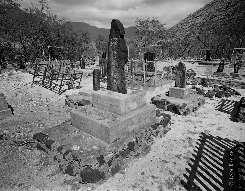 Pu’upāhe’ehe’e Heiau
3237 hits
The location of Paheʻeheʻe Heiau, now a plantation-era graveyard where former heiau stones may have been "repurposed." A section of ʻiliʻili pavement still remains in the grass to the rear of the graveyard.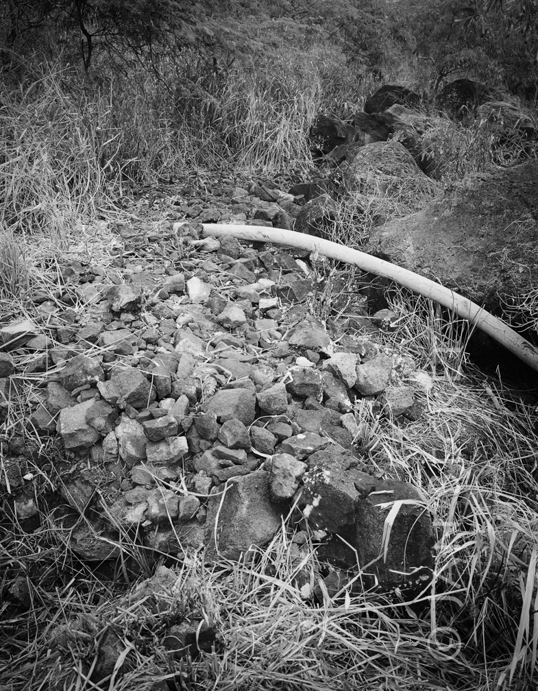 Hawea, 1994
2081 hits
The remnant of the platform at Hawea heiau, with construction and dredging debris pushed up against it from the creation of the marina at Hawaiʻi Kai by Kaiser Development Corp. Note the lined pit in the foreground.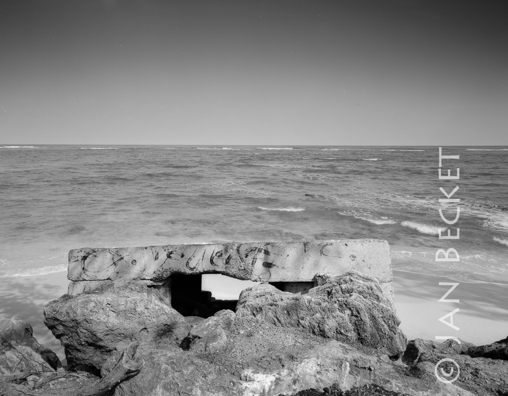 Kalae o Kuonopuaʻa, 2008
2352 hits
Where the koʻa used to stand, according to McAllister. He comments that it was destroyed when the present road was built, and that one was never supposed to walk behind it. In the image is the WWII fortification that stands at the point where McAllisterʻs vague map places the fishing shrine.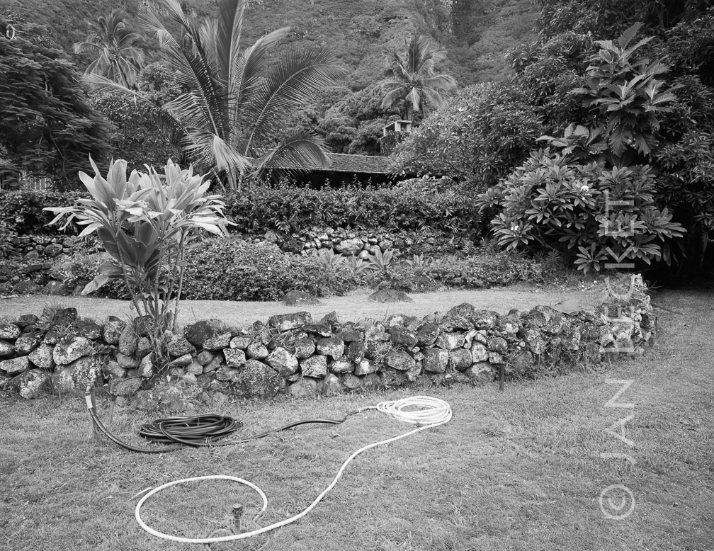 Site 304 in Kaʻaʻawa, 1994
2469 hits
A member of the Auld family who grew up in this house reports that the heiau was located there in his youth. The house was subsequently purchased by a foreign family, and a swimming pool constructed where the main structure of the heiau was said to be. A section of the very large structure may remain in the adjacent yard. Other members of the family, however, cannot recall the heiau - which may have been destroyed much earlier.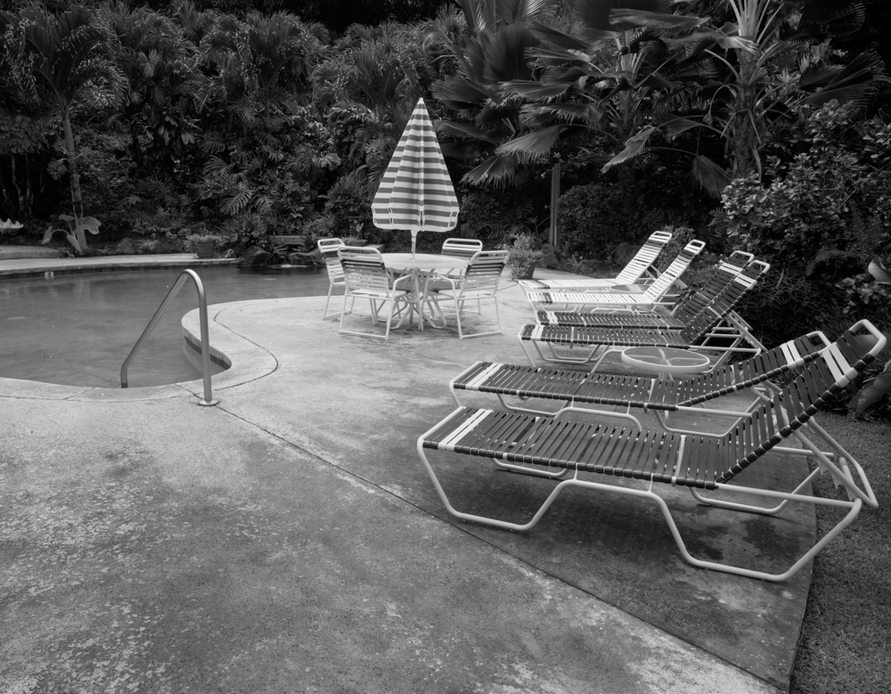 Site 304 in Kaʻaʻawa, 1994
2531 hits
A member of the Auld family who grew up in this house reports that the heiau was located there in his youth. The house was subsequently purchased by a foreign family, and a swimming pool constructed where the main structure of the heiau was said to be. A section of the very large structure may remain in the adjacent yard. Other members of the family, however, cannot recall the heiau - which may have been destroyed much earlier.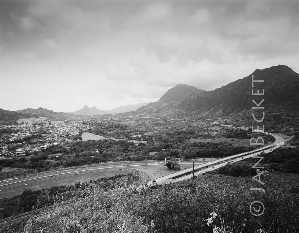 Kukiokāne, 2001
2204 hits
From where the heiau used to be located, now the H-3 Freeway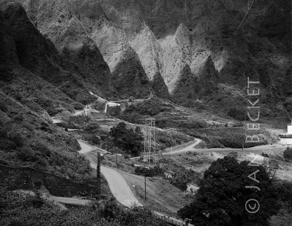 Haʻikū, 1990
2206 hits
The H-3 Freeway under construction in Ha’ikū Valley.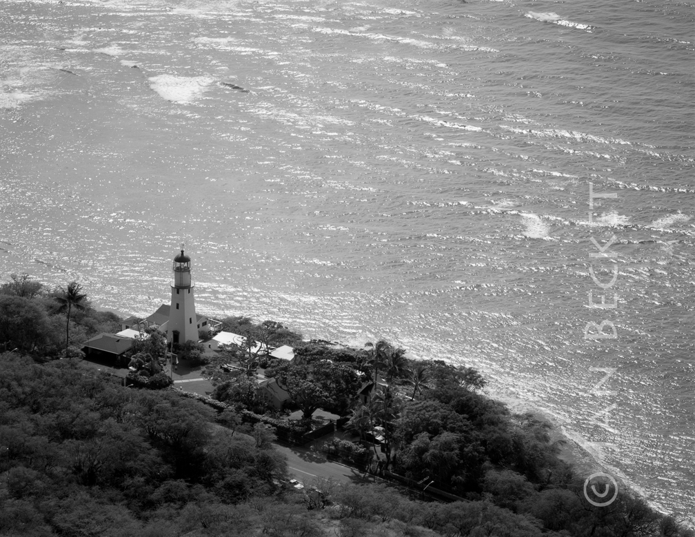 Pahuamaui, 2013
2180 hits
The Leahi (Diamond Head) lighthouse occupies the former site of Pahuamaui Heiau. An early photograph of the lighthouse may show sections of the foundations of its platforms.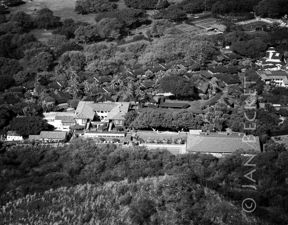 Papaʻenaʻena, 2013
2665 hits
Marion Kelly was one of the last to see remnants of Papaʻenaʻena Heiau just before the construction of the tennis courts and townhouses below the former Dillingham mansion, now Hawai’i School for Girls.