
 Area 1629 - enclosure
2004 hits
A possible house site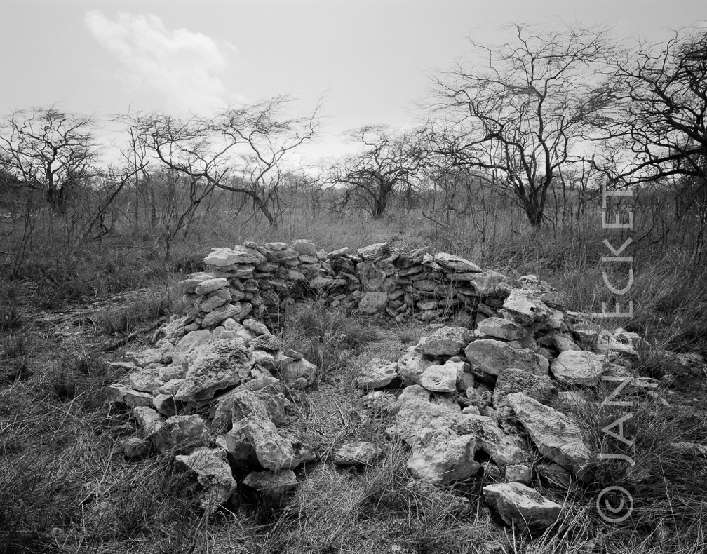 Area 1629 - enclosure
1887 hits
A possible house site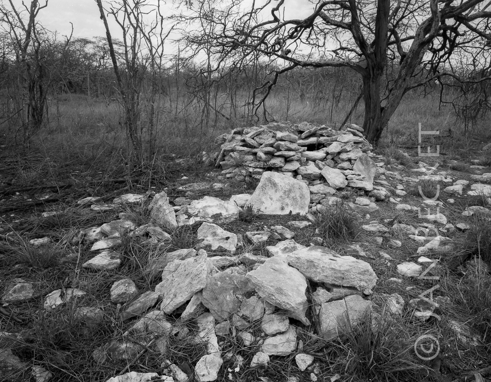 Area 1639 - damaged enclosure and small platform
2012 hits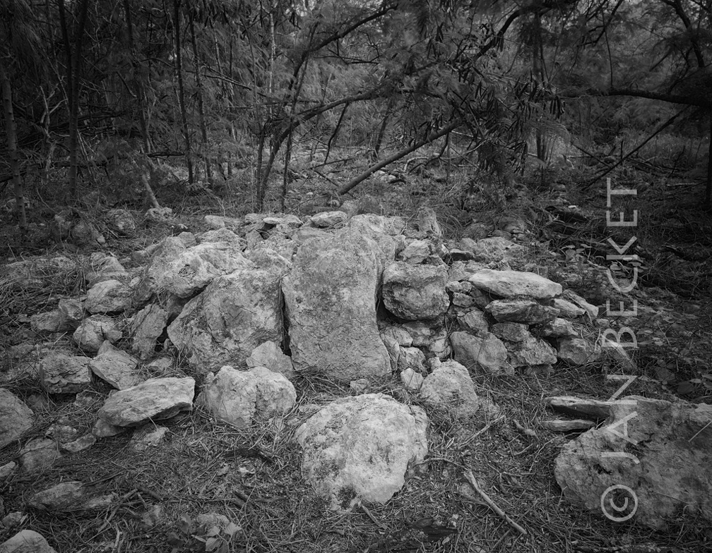 Area 1736 - small platform
1986 hits
Note the prominent upright slab on one side.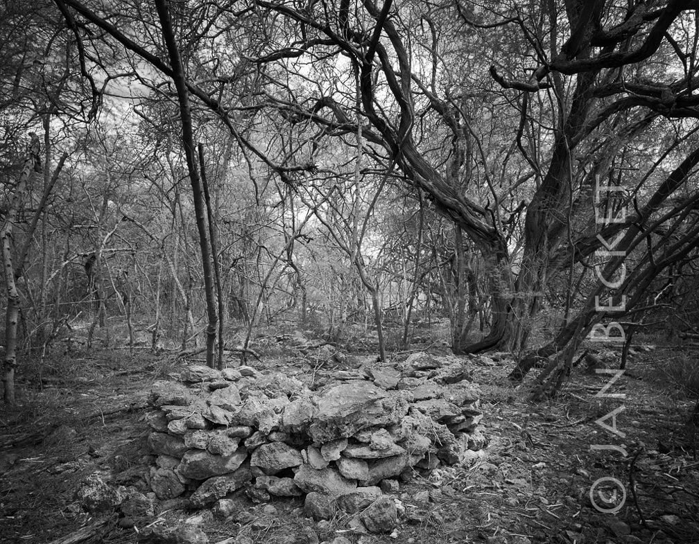 Area 1736 - small platform
1813 hits
Identified as feature K on a tag left at the site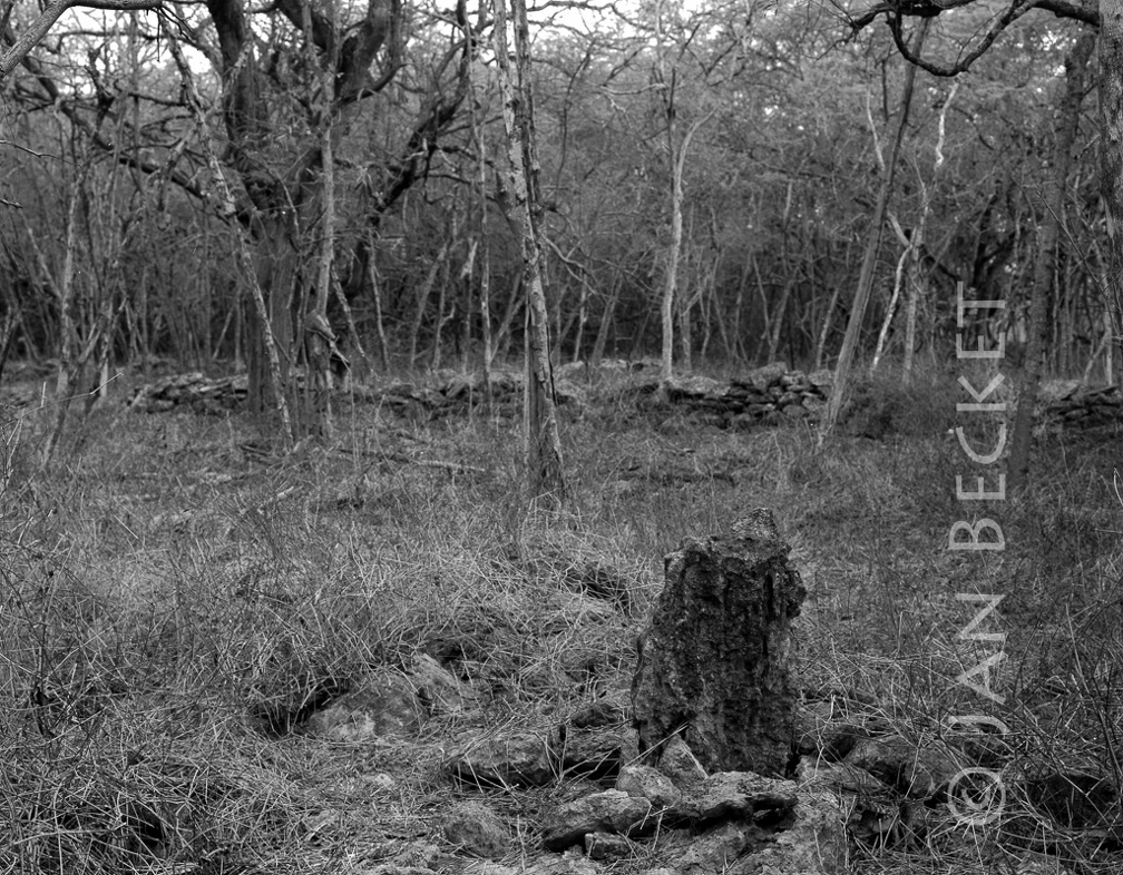 Area 1736 - upright stone
1891 hits
This stone was first identified and photographed when the archaeological survey crew had already cleared sites in the area and was recording features. Amazingly, this ahu had not been cleared, and is probably not listed in the feature inventory for this complex.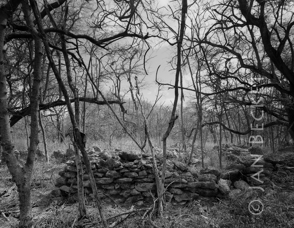 Area 1736 - walled enclosure
2064 hits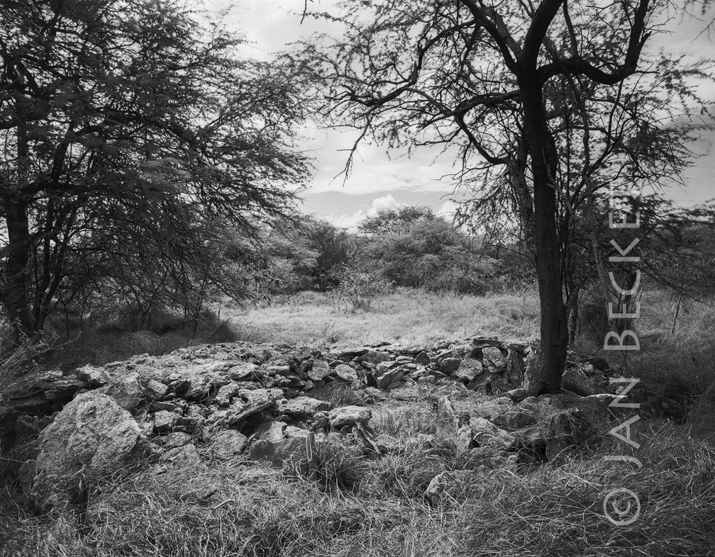 Area 1745 - a large enclosure
2116 hits
Possibly a house site.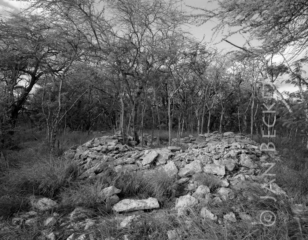 Area 1745 - enclosure
1939 hits
Possibly a house site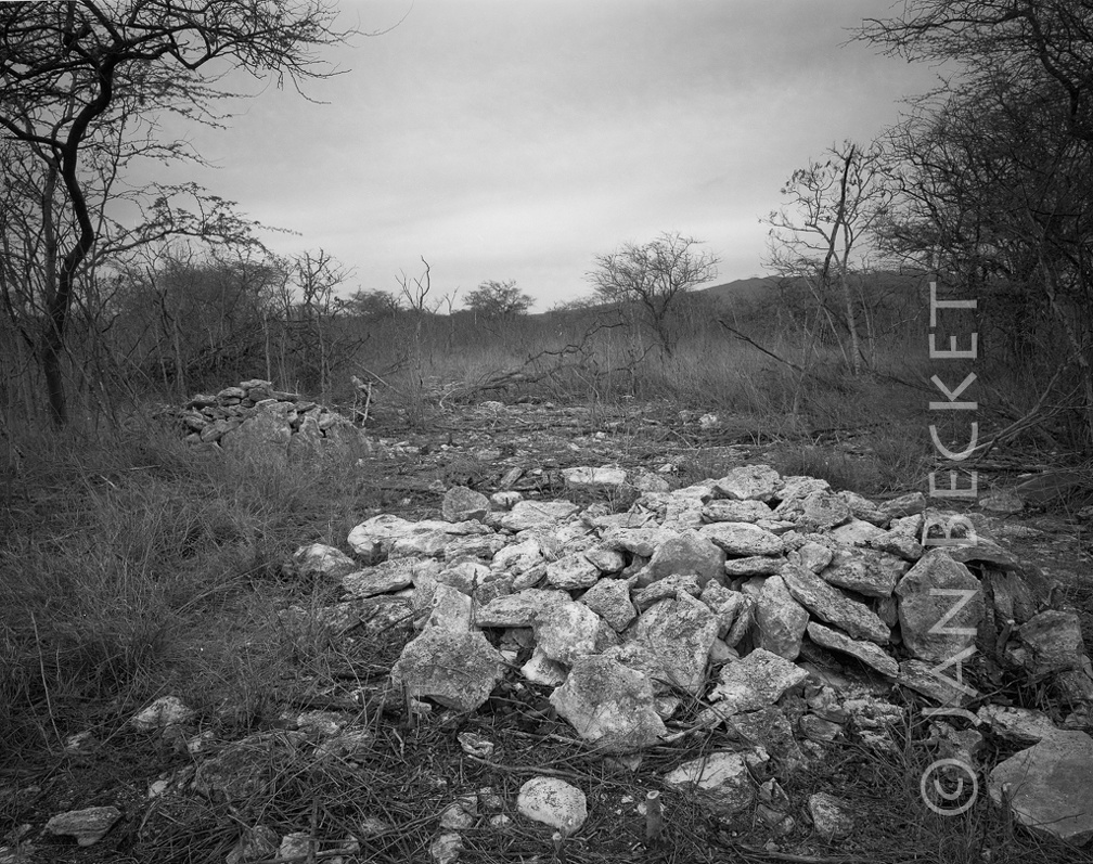 Area 1746 - damaged platform
1884 hits
US Navy archaeologists maintain that these were not Hawaiian pre-contact structures. They were bulldozed to clear lead shotgun pellets from an area used as a trap and skeet shooting range - even though they lay at the far periphery, and even though the area was designated as one of the very last preserves for the endangered Oʻahu akoko plant. In this image a damaged platform lies adjacent to an intact platform - shown in another image in this album.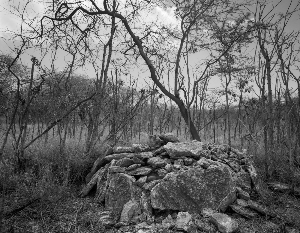 Platform in area 1746, Kalaeloa, 2001
2354 hits
This platform was bulldozed by the US Army in a cleanup of an area contaminated by lead shotgun pellets at a recreational trap and skeet shooting range. Army archaeologists maintained that this is not a Hawaiian cultural structure. It was taken apart prior to being bulldozed. No bones or other cultural artifacts were found inside.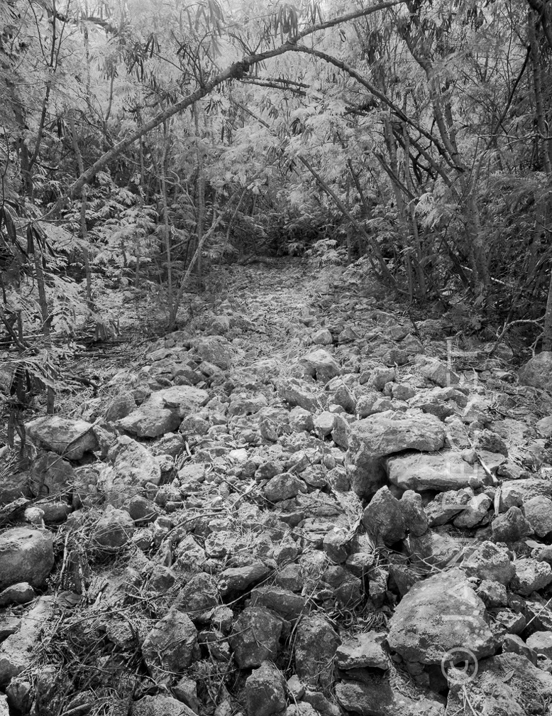 Area 1752 - a nearby paved ala
1915 hits
A puzzling linear section of low pavement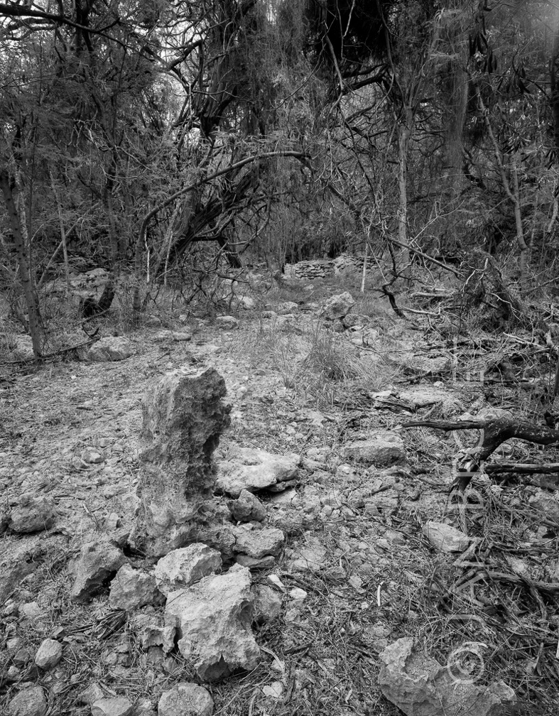 Area 1752 - heiau
1908 hits
The upright stone at 1752. The flat kohe shown in another image lies on the other side of the upright.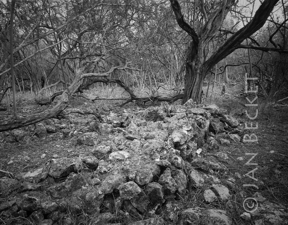 Area 1752 - heiau
1893 hits
The exterior of the thick, low wall that forms the principal enclosure at the heiau.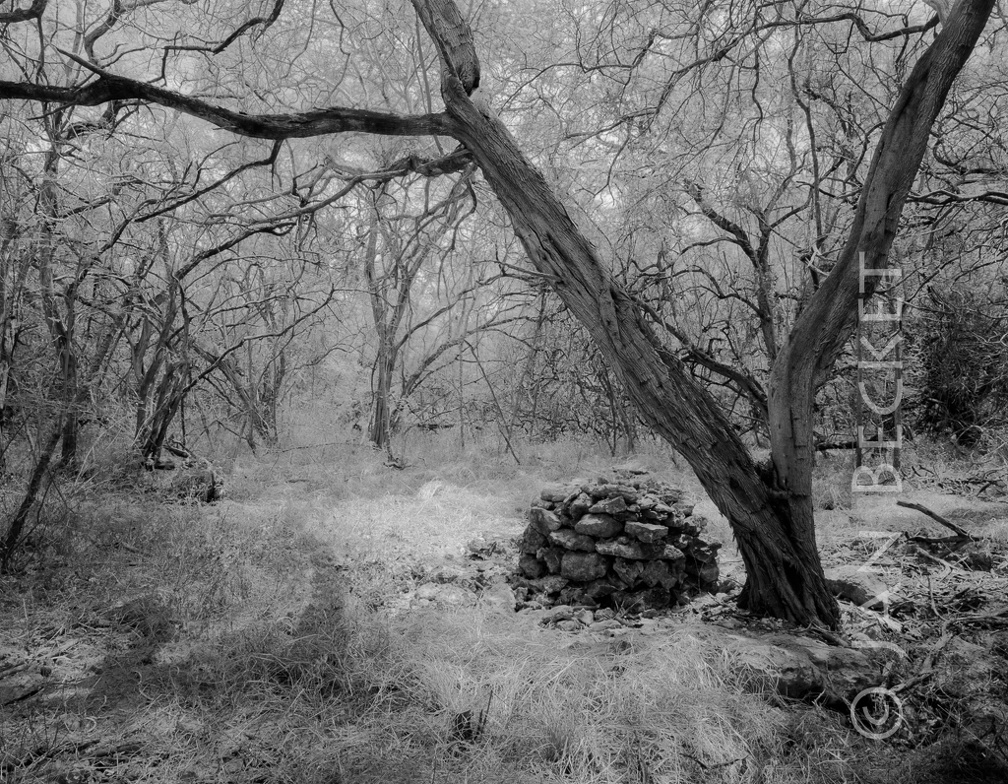 Area 1752 - small platform or ahu
1949 hits
A small ahu mauka of the heiau enclosure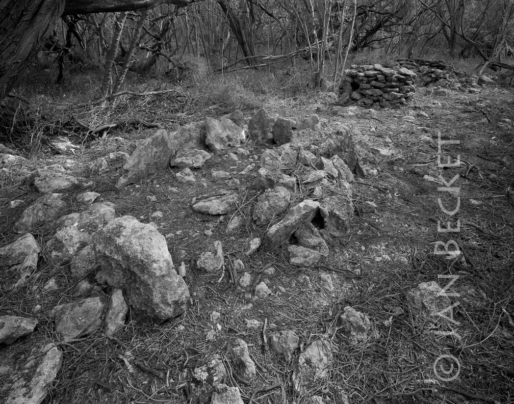 Area 1752 - small platform or ahu
1976 hits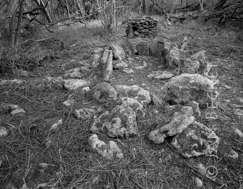 Area 1752 - small platform or ahu
1893 hits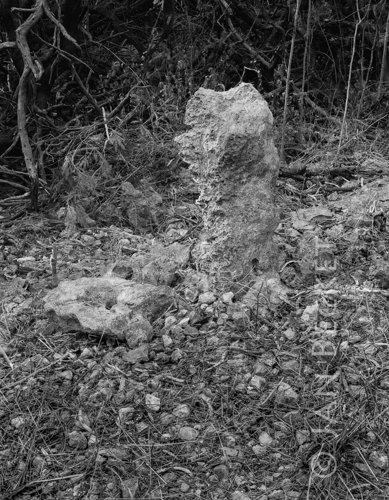 Area 1752 - ule and kohe
2256 hits
This pair of male / female stones is at the heiau numbered 1752, one of the largest at Kalaeloa. The male ule stands erect (of course) and the female kohe lies at its base, a slab with a hole in the center. Area 1752 - upright
2034 hits
The upright stone at the heiau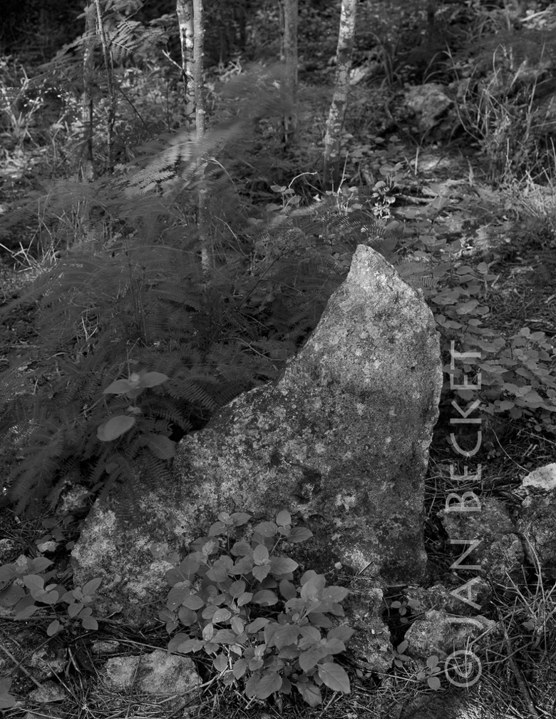 Area 1753 - ala
2419 hits
One of the upright stones at the ala, in a section now cleared of all vegetation. Area 1753 - ala
2409 hits
A unique path lined with upright stones. This section is cleared, but the path extends into the brush for another 300 yards. Its purpose remains uncertain, although it appears ceremonial. Area 1753 - ala
2474 hits
A section of the ala (pathway) that remains to be cleared.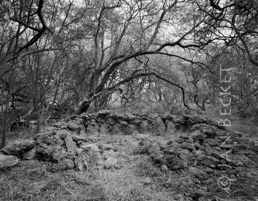 Area 1753 - enclosure
2245 hits
Possibly a habitation site. Note the use of upright slabs in the wall.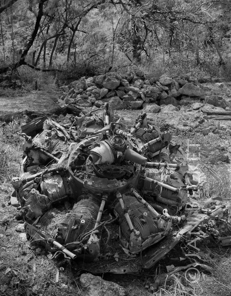 Area 1753 - engine from WW II plane crash
3018 hits
This plane crashed during WW II directly on the paved ala (pathway) in several other images in this album. All of the other fuselage has been removed, but the engine remains.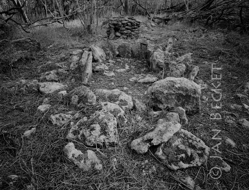 Area 1752 - heiau
2132 hits
Around 2014, a large kiawe tree fell on this enclosure, damaging it. Note the opening in the side of the small platform. The original archaeological team that identified this heiau dismantled the structure and then rebuilt it somewhat shorter, without the empty space in its center. The space may have had a ceremonial function.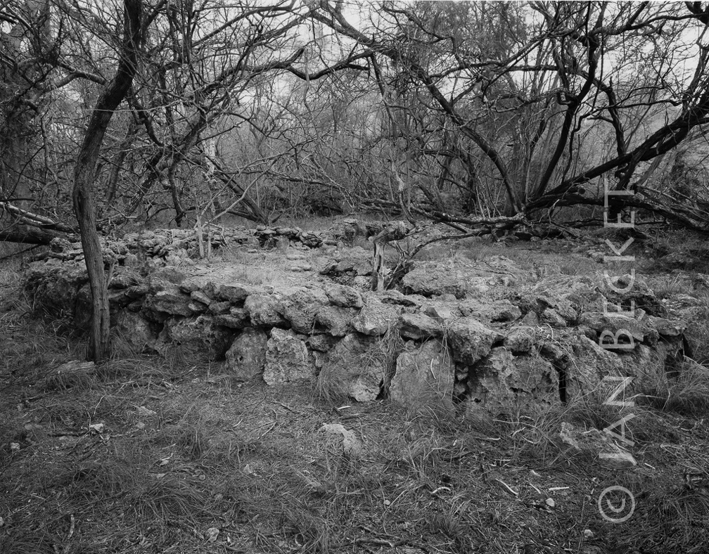 Area 1753 - large enclosure around a sinkhole
2123 hits
A large upright stone stood at one end. It had fallen but was set back up by the cultural organization curating this complex of sites.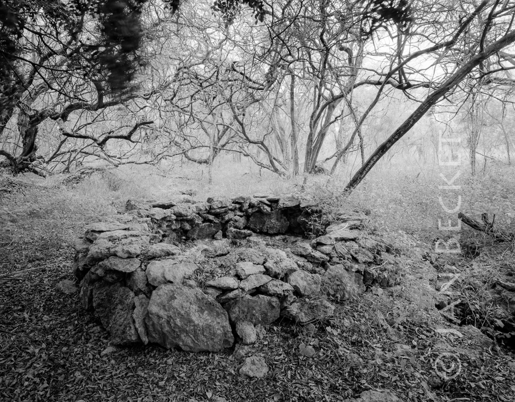 Area 1753 - walled sinkhole
2011 hits
Possibly a water source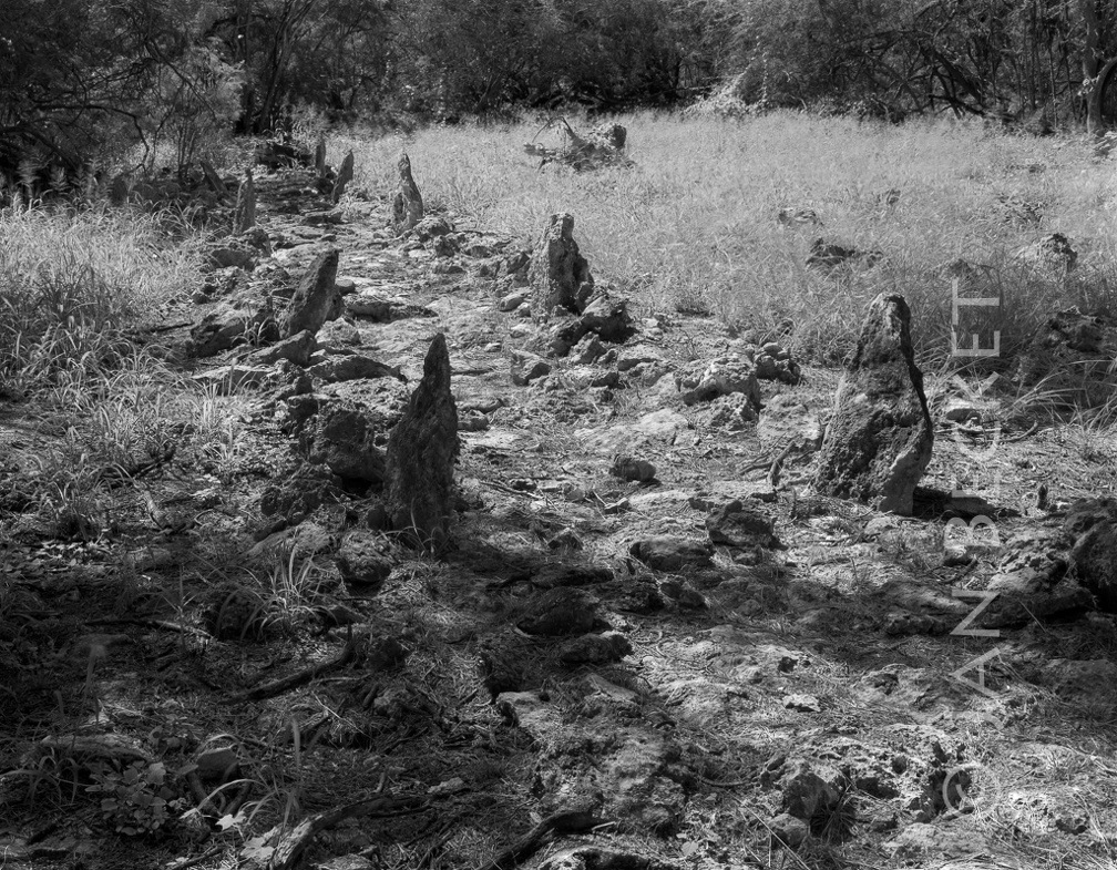 Area 1753- ala
1918 hits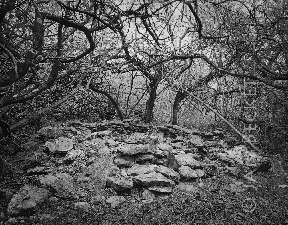 Area 1755 - small heiau
2023 hits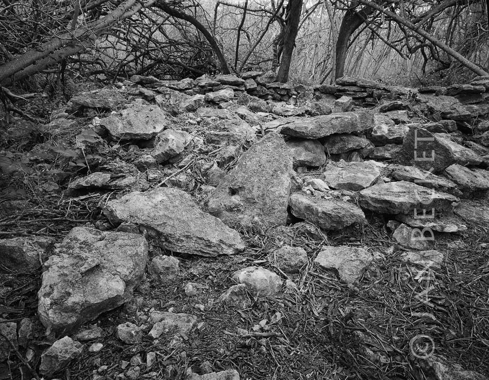 Area 1755 - small heiau or ahu
2101 hits
This site is possibly a small heiau - note the prominent upright triangular slabs and the fact that the enclosure has no opening.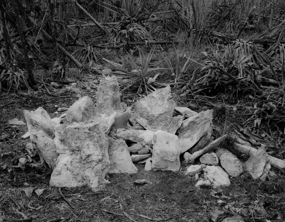 Small ahu (shrine) near the main gate, Kalaeloa, 2001
2384 hits
This shrine, visited in 2001 with cultural anthropologist Marion Kelly, was destroyed by the US Army in order to construct a large FBI building. Army archaeologists maintain that this is not a Hawaiian cultural site and that it was built on land that had been previously bulldozed during WWII for the construction of quonset huts.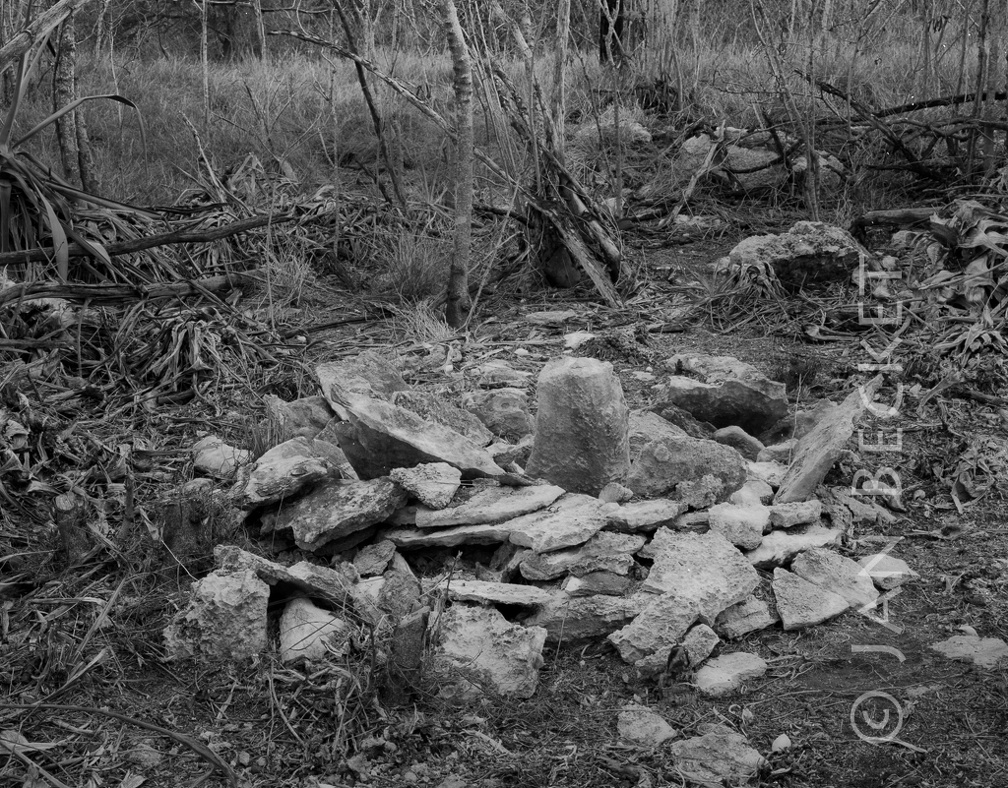 Main Gate ahu
1891 hits
A small ceremonial structure with one prominent upright stone, now bulldozed in the construction of the FBI building near the Main Gate of the Kalaeloa / /Barbers Point base. US Navy archaeologists maintained that this was not a pre-contact Hawaiian structure, based on a sketch showing WW II bulldozing in the area. The foundations of a WW II quonset hut lay a few hundred feet to the west.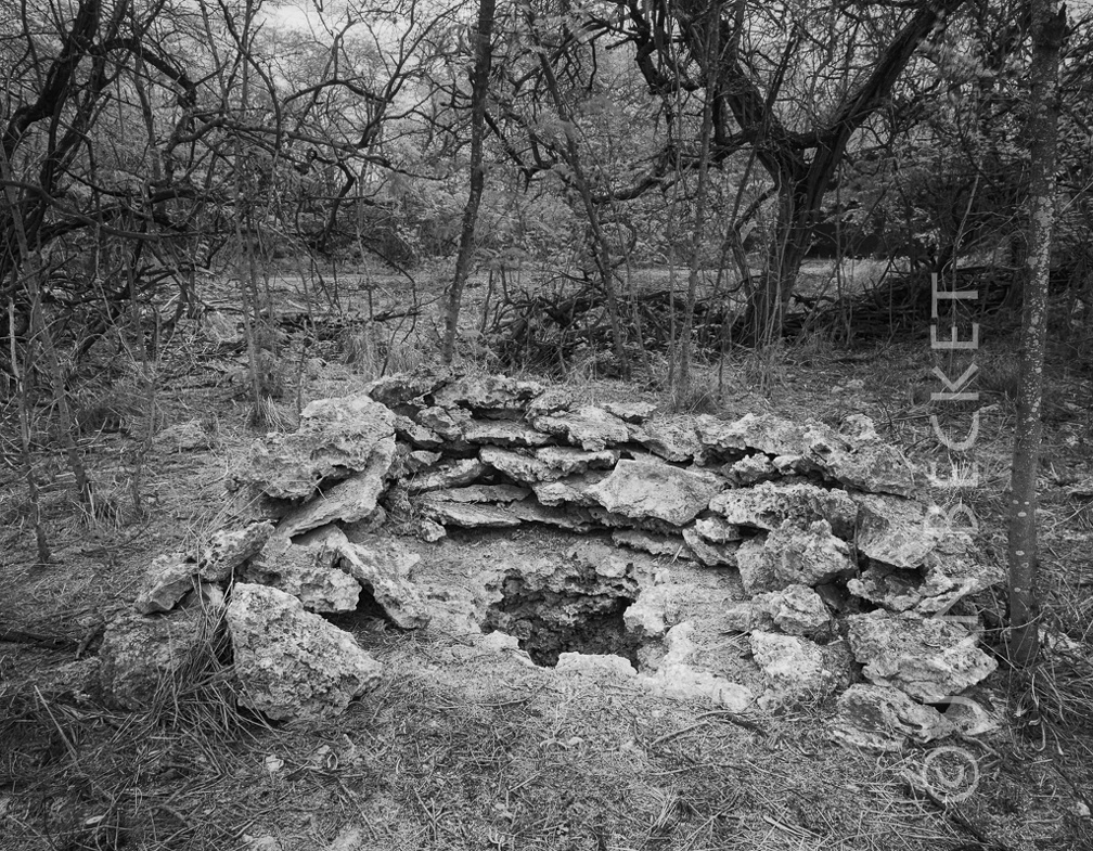 Makai of revetments - a walled sinkhole
2404 hits
Possibly a water source, access to the underground streams that once flowed through the porous limestone from the distant mountains to the sea.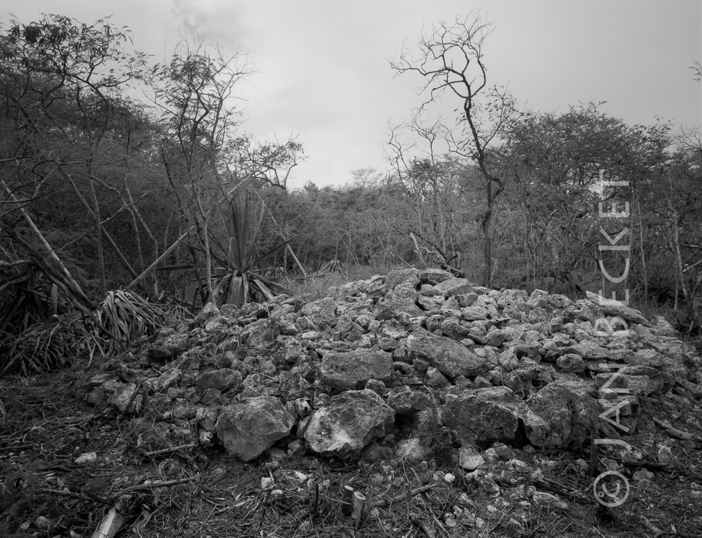 Near runway - large platform
1890 hits
This platform lies in an area with the remains of WW II quonset huts, and with the remains of other pre-contact Hawaiian structures. Note the large stone curbing around the bottom and the use of large slabs on the top.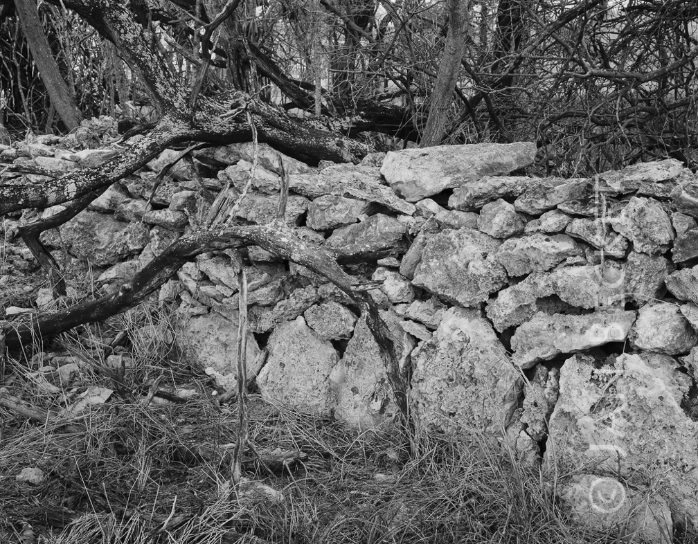 Near the old base commissary - wall section
1941 hits
Note the use of upright slabs in the wall construction. This area contained numerous sites but may have been bulldozed by a company leasing the land from DHHL.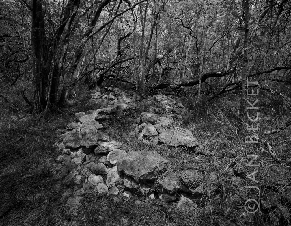 Raceway Park, Coral Sea Rd.
2013 hits
An unusual alignment of two parallel walls running for a short distance in a zigzag manner. Some barbed wire at the site hinted at a WW II origin, except that traditional upright slab construction was used in section of the walls.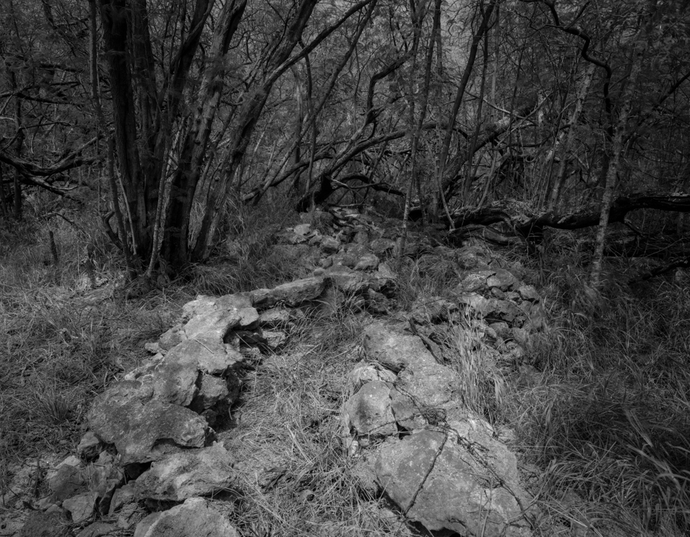 Unusual zig-zag structure, Kalaeloa, 2008
2358 hits
This puzzling zig-zag structure barely escaped destruction by an organization that leased an adjacent parcel for car racing. Not visible in the image are upright stones forming the walls of the structure - a traditional construction technique in Tahiti sometimes also seen at Kalaeloa. Some archaeologists maintain that this is a modern military training structure, based on the presence of barbed wire.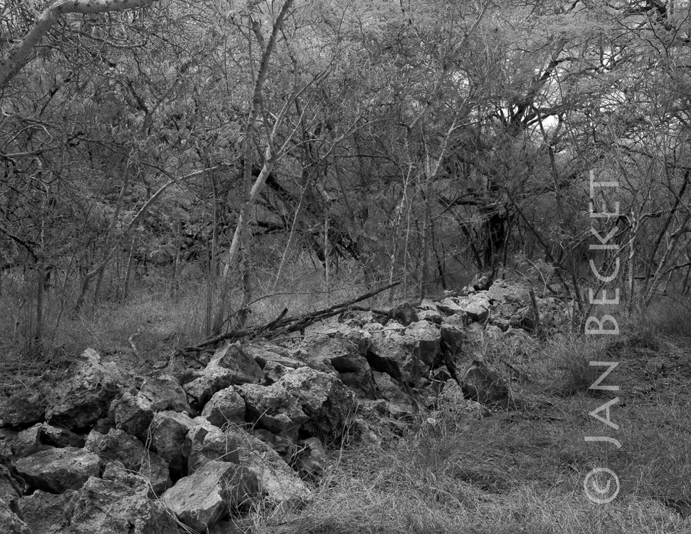 Raceway park, Coral Sea Rd.
2005 hits
A section of the wall enclosing a sandy area of perhaps two acres at the intersection of Coral Sea and Tripoli Rd. The organization leasing this land from DHHL bulldozed the mauka section of the enclosure.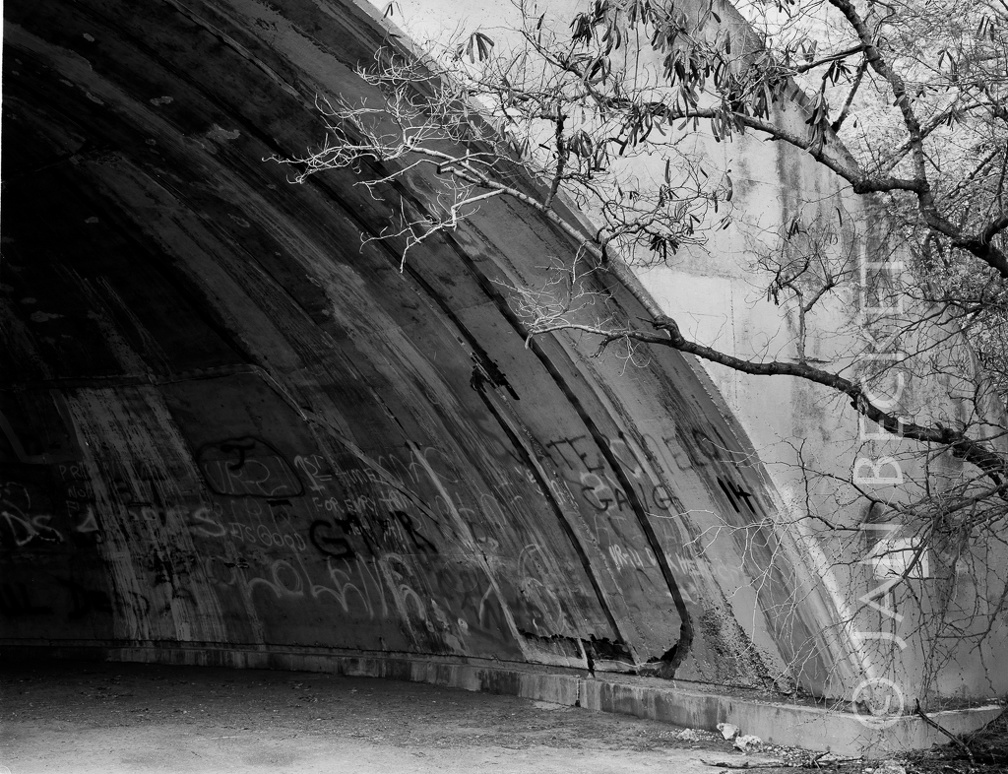 Revetment
1902 hits
Conical revetments like this lie in an abandoned area of the base. A large complex of them were built in this area to store and protect planes.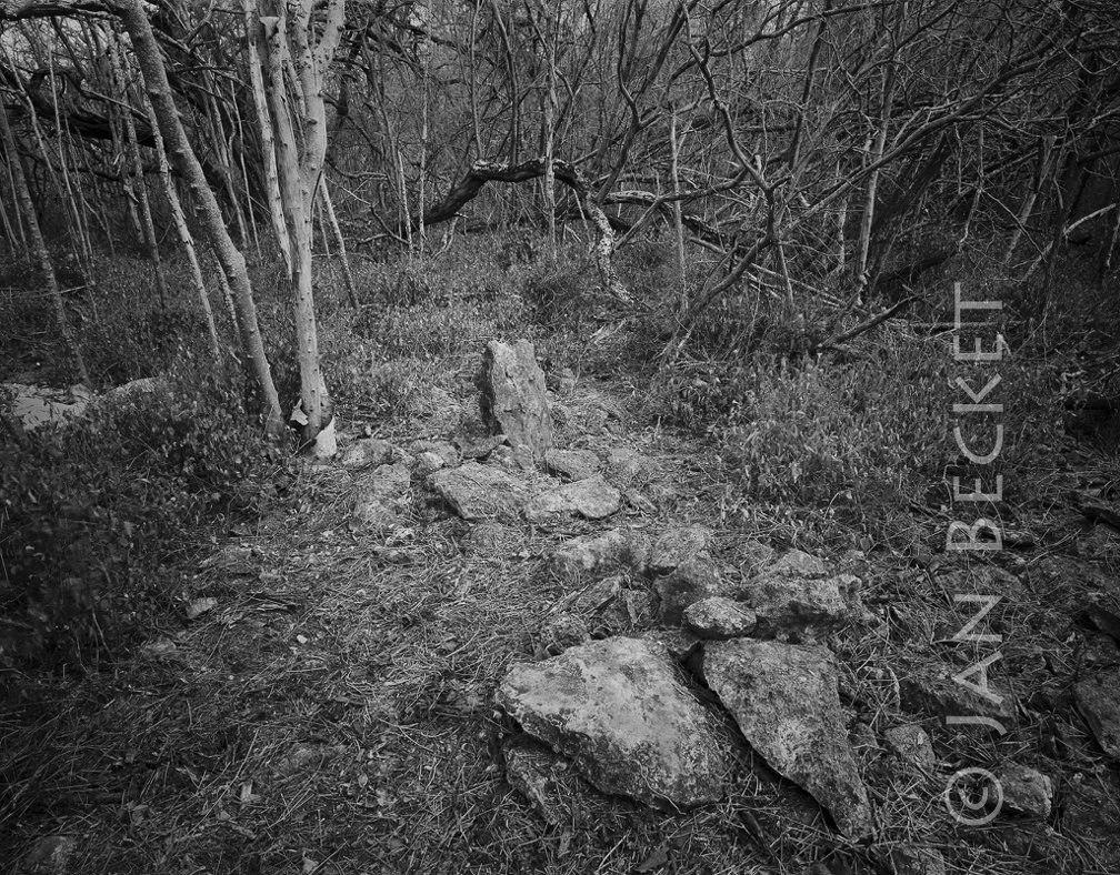 Area 1736 - upright and ahu
2047 hits
Note the two large slabs lying together in front of the upright - perhaps a suggestion of a kohe (vagaina) in connection with the ule (penis, upright). Such male / female (Wakea / Papa, Kū / Hina) pairings are not uncommon - as seen at the heiau in area 1752 a little distance to the west of this complex.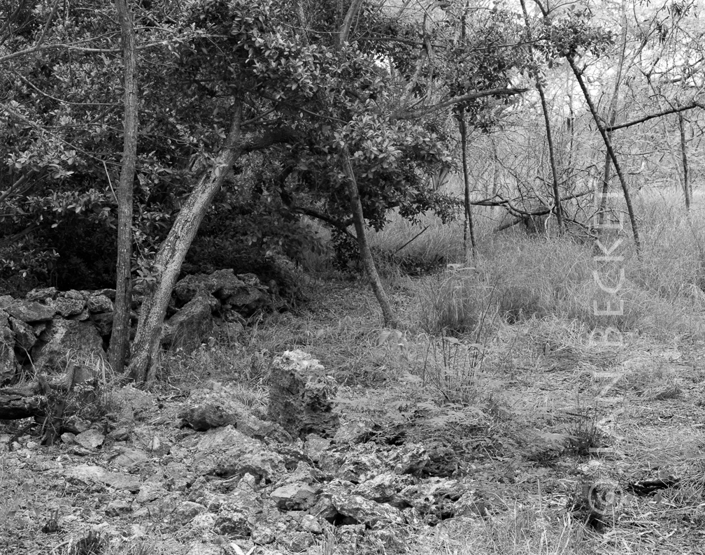 Ahu at walled sinkhole, 2002
314 hits