
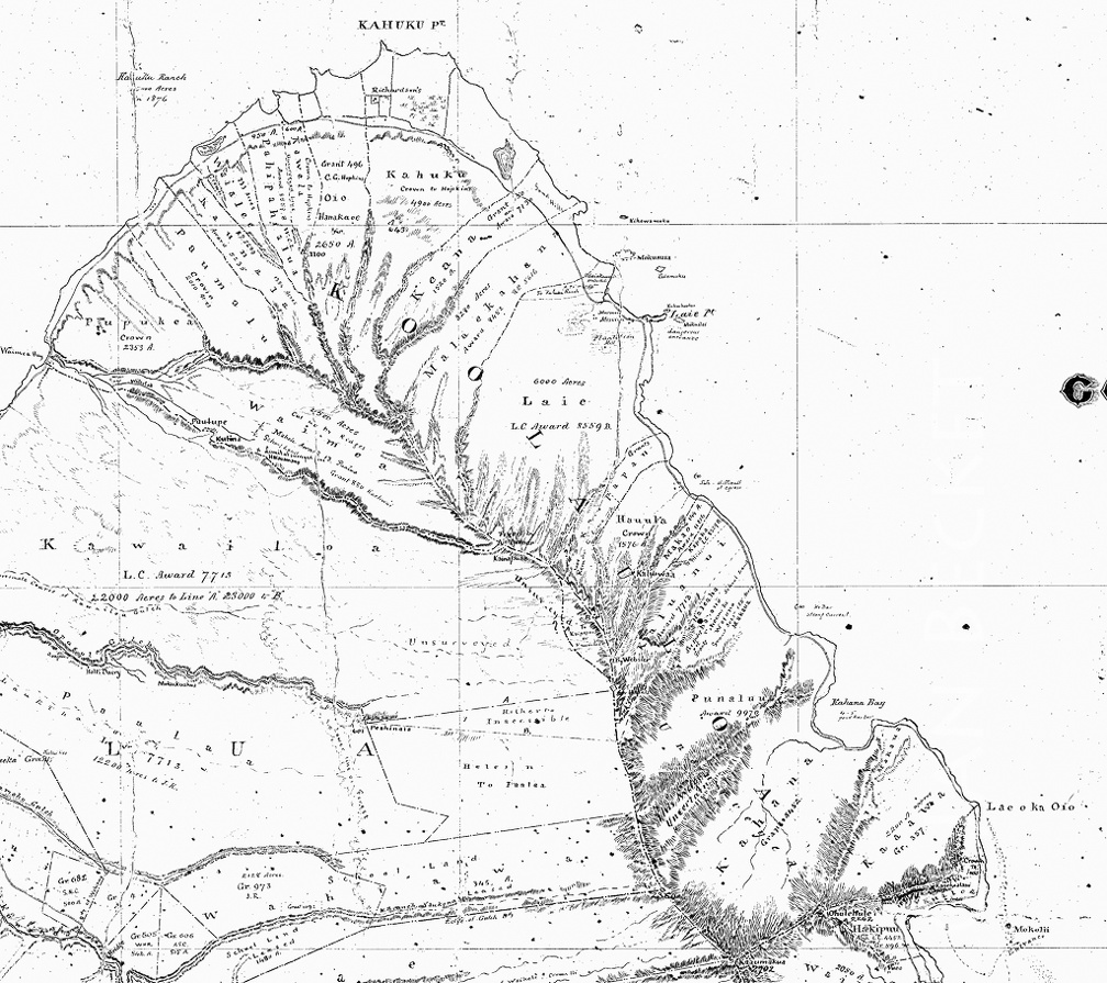
 AAA - Hawaiian Government map, 1876
1859 hits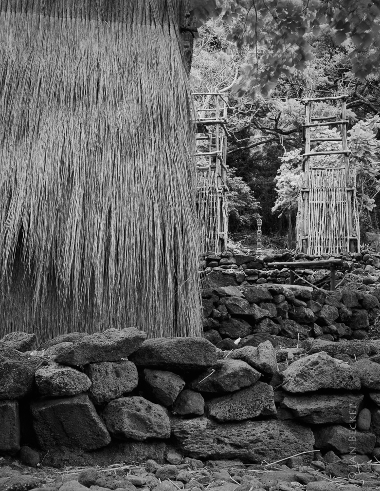 Haleolono, Waimea, 1992
1830 hits
The hale were constructed by Rudy Mitchel, one of a very few people with traditional knowledge of Hawaiian cordage and knots.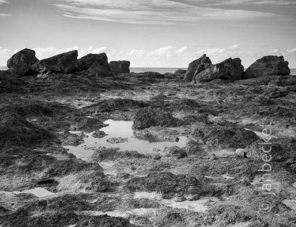 15 10 Na Ukali O Pele Pupukea
1787 hits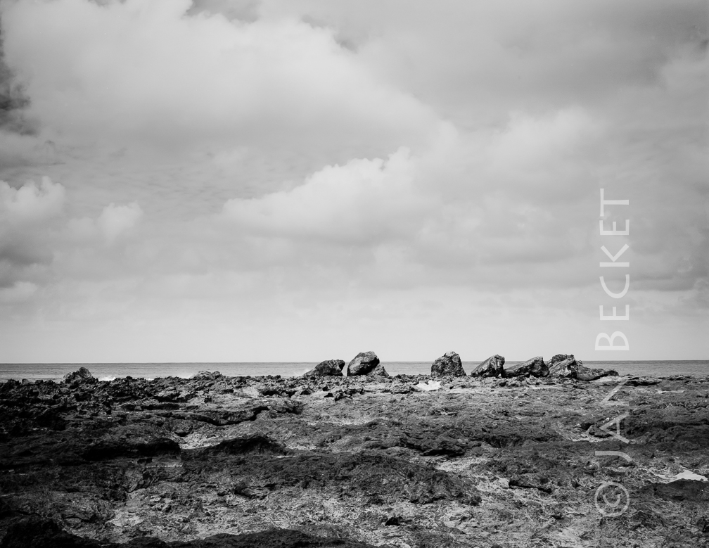 Nā Ukali a Pele - Peleʻs Followers
1970 hits
A group of large pōhaku at the edge of a ledge at the ocean at Pūpūkea. Interestingly, a gulch directly mauka is also named after Pele: Kalahopele (Peleʻs scrotum).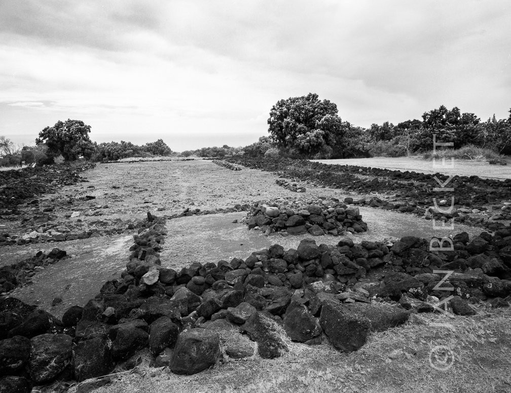 Puʻuomahuka 3
2203 hits
Rudy Mitchel commented numerous times that Puʻuomahuka might not be the name of this heiau, but just the area where it stands. He felt that Hawaiians in the l930s were protective of heiau names and locations and did not always share accurate or complete information with McAllister.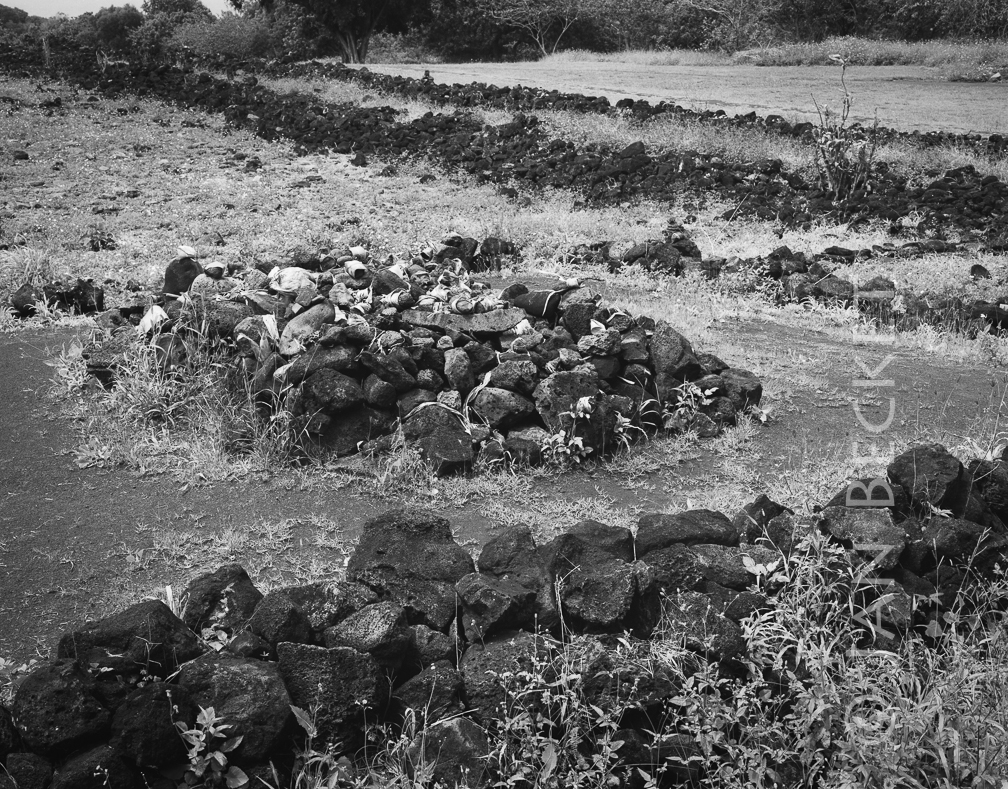 Puʻuomahuka 1, 1990
1861 hits
Rudy Mitchel commented numerous times that Puʻuomahuka might not be the name of this heiau, but just the area where it stands. He felt that Hawaiians in the l930s were protective of heiau names and locations and did not always share accurate or complete information with McAllister.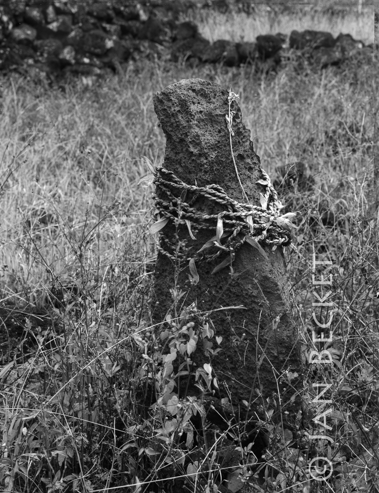 Puʻuomahuka 2, 1990
1987 hits
Rudy Mitchel commented numerous times that Puʻuomahuka might not be the name of this heiau, but just the area where it stands. He felt that Hawaiians in the l930s were protective of heiau names and locations and did not always share accurate or complete information with McAllister.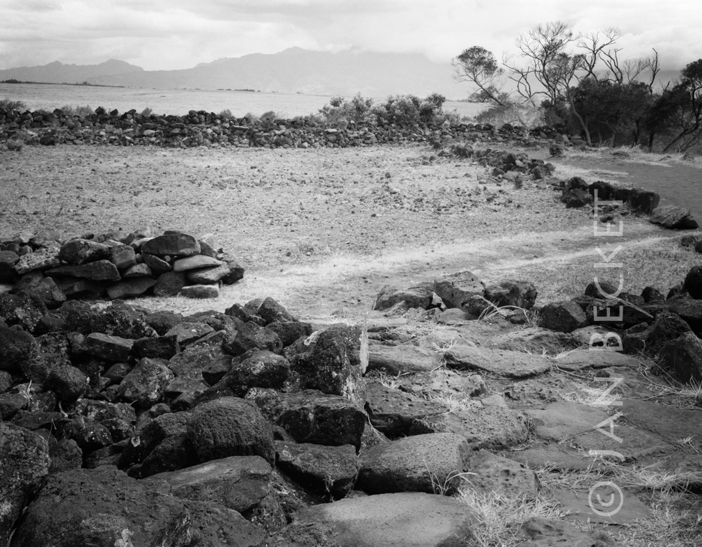 Puʻuomahuka 3, 2015
1619 hits
Rudy Mitchel commented numerous times that Puʻuomahuka might not be the name of this heiau, but just the area where it stands. He felt that Hawaiians in the l930s were protective of heiau names and locations and did not always share accurate or complete information with McAllister.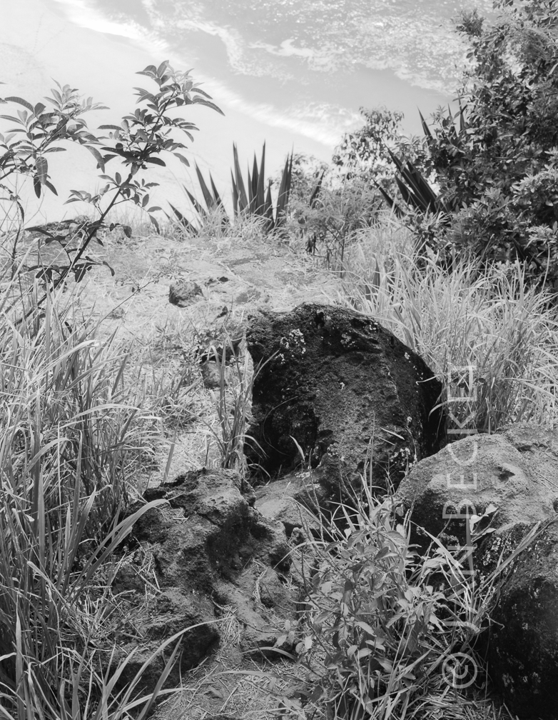 Kalakū
2032 hits
Rudy Mitchell identified this pōhaku as Kalakū, a fish god and fish lookout point on the north side of Waimea Bay. It sits on an obscure ledge overlooking the bay. The corresponding pōhaku sits on the opposite side of the Bay, Kalakoi. The stones are also called Kū and Ahuena.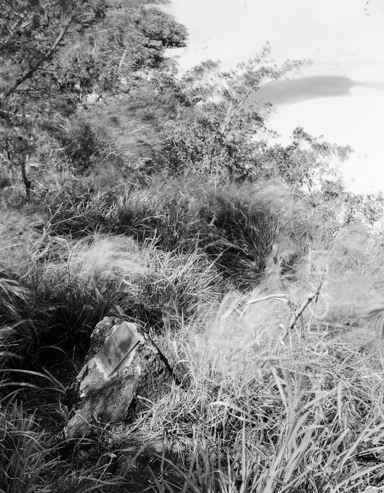 Kalakū
1830 hits
Danny Camplin was a surfer who drowned at Waimea in 1994. His friends and/or family made the unfortunate decision to cement a memorial plaque onto Kalakū — probably ignorant of its cultural significance.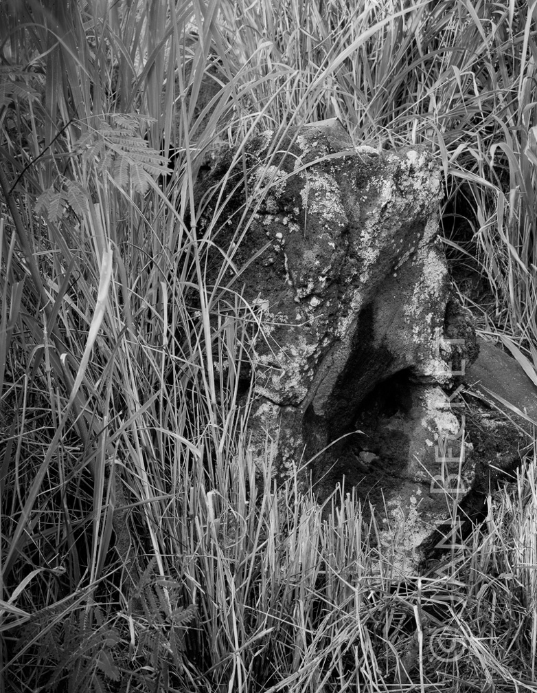 Kalakū
1872 hits
Rudy Mitchell identified this pōhaku as Kalakū, a fish god and fish lookout point on the north side of Waimea Bay. It sits on an obscure ledge overlooking the bay. The corresponding pōhaku sits on the opposite side of the Bay, Kalakoi. The stones are also called Kū and Ahuena.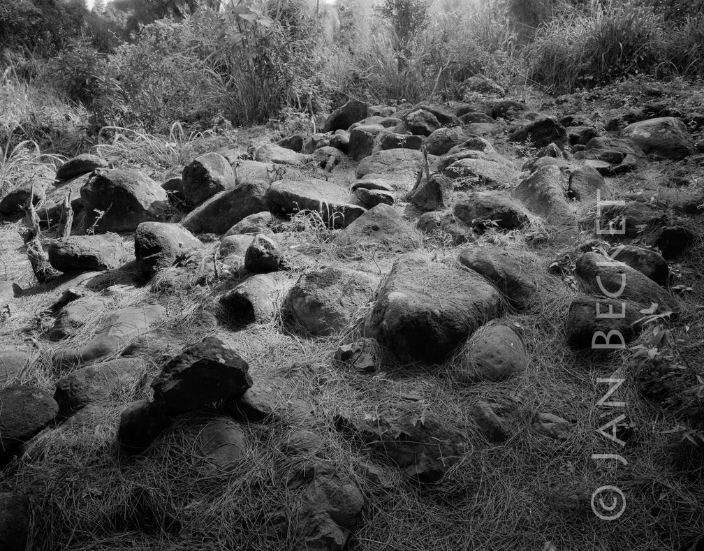 Kahuku mauka - Disturbed platform, 2009
1860 hits
In the military training area above Kahuku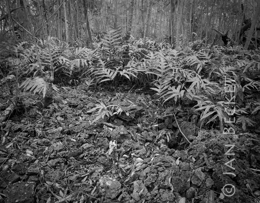 Nīoi 1, 1994
1902 hits
A remaining section of Nīoi, perhaps its principal platform. Note the lined lua (pit) on the right.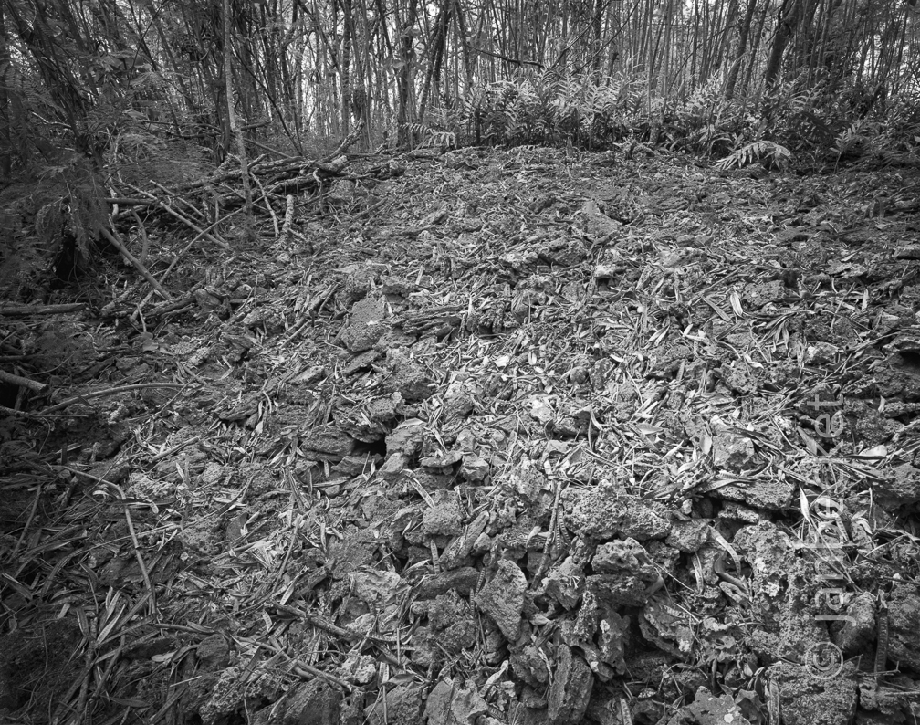 Nīoi, 1994
1865 hits
The remaining platform at Nīoi. The archaeologist in charge of the adjacent sewage treatment plant project maintained that he could not positively locate Nīoi.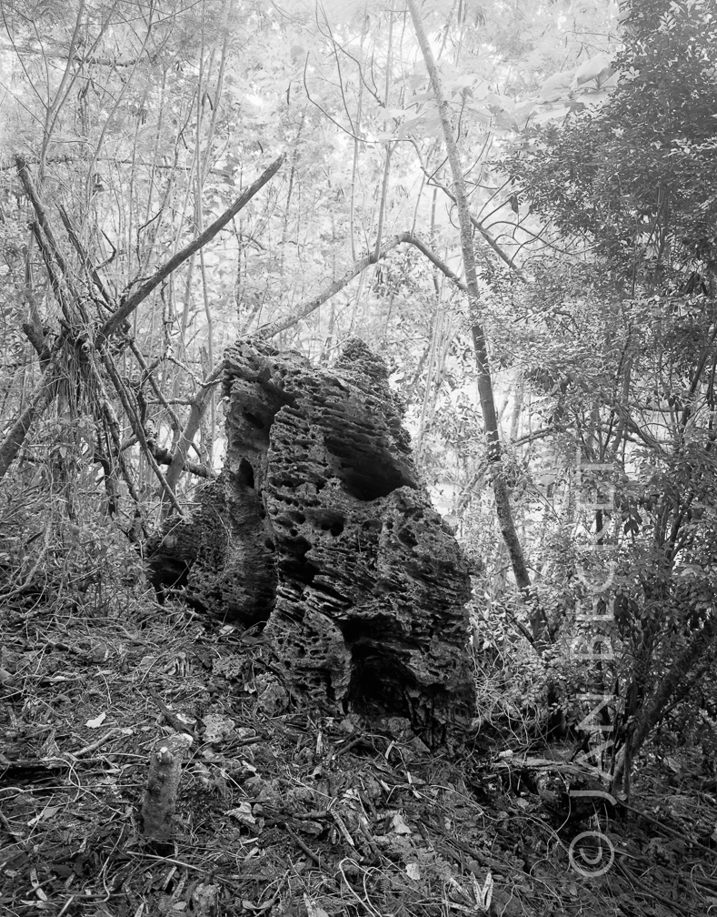 Nīoi 3
1855 hits
A large upright pōhaku at the NW edge of the principal platform of Nīoi.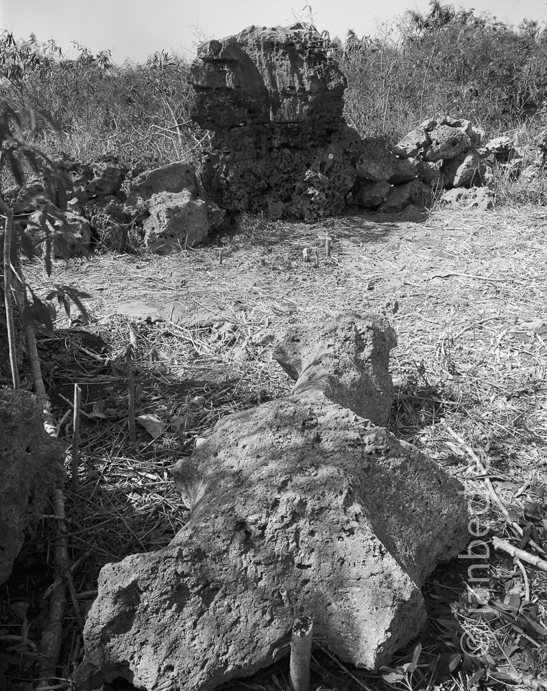 Nīoi, 1994
1815 hits
This section of Nīoi was bulldozed to construct a sewage treatment plant. The archaeologist on the project did not identify this structure as pre-contact.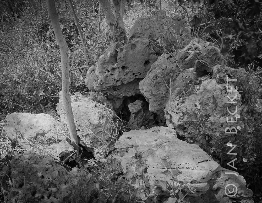 Nīoi 5, 1994
1770 hits
A small upright stone in a niche, adjacent to the principal platform at Nīoi. The landowner bulldozed this area to construct a sewage treatment plant.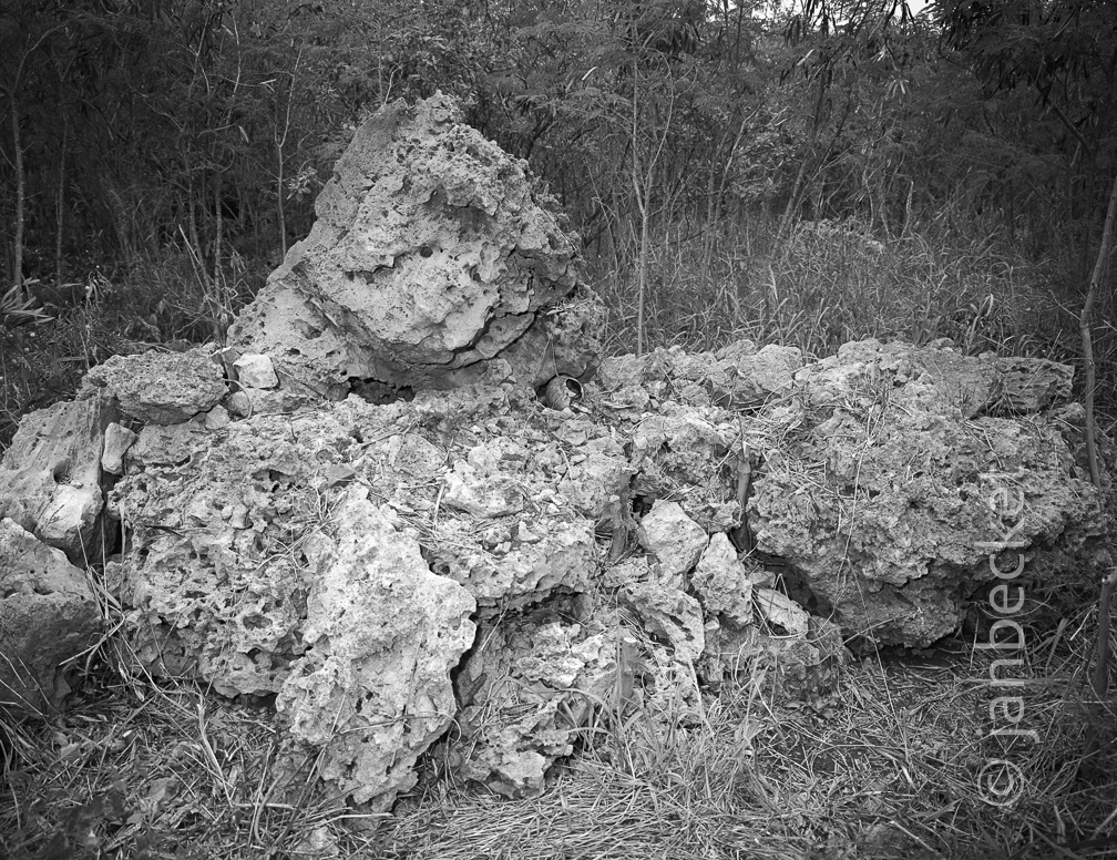 Nīoi, 1994
1884 hits
This section of Nīoi was bulldozed to construct a sewage treatment plant. The archaeologist on the project did not identify this structure as pre-contact.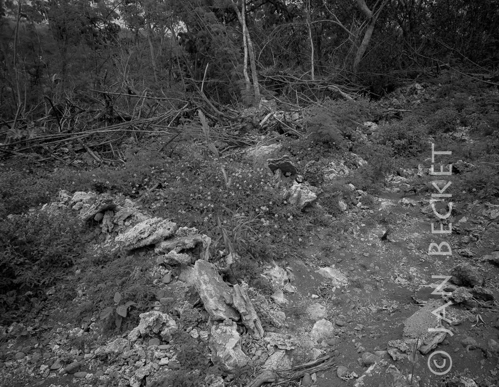 Nīoi 7, 1994
1885 hits
The landowner leased this section on the SE / Kāneʻahe side of Nīoi to a sand mining operation, which bulldozed it. On the day I visited, a member of the Oʻahu Burial Council was there, collecting small fragments of human bone.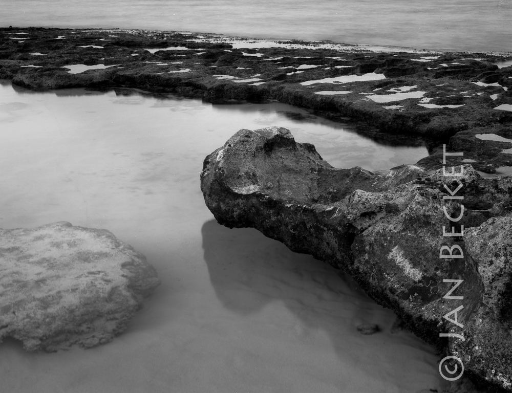 Kaipapau, 2013
1877 hits
"Alligator" rock at Kaipapau, perhaps a reference to the moʻo at Laʻie Point, not far from here.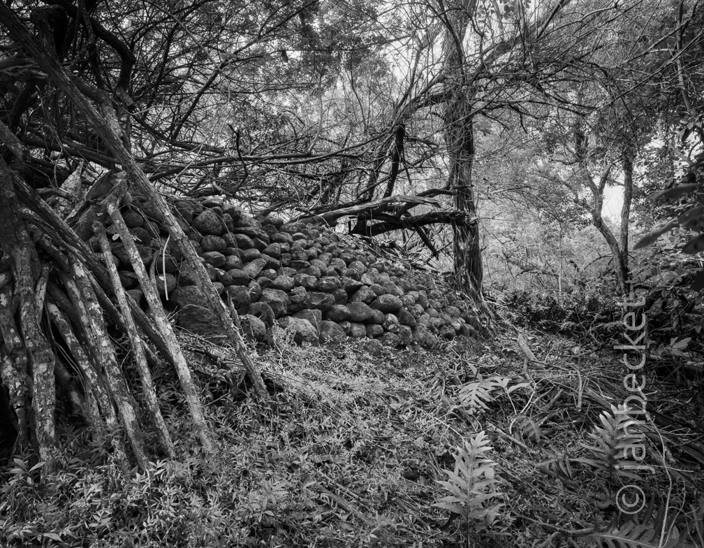 Hauʻula Stream enclosure1, 2000
1758 hits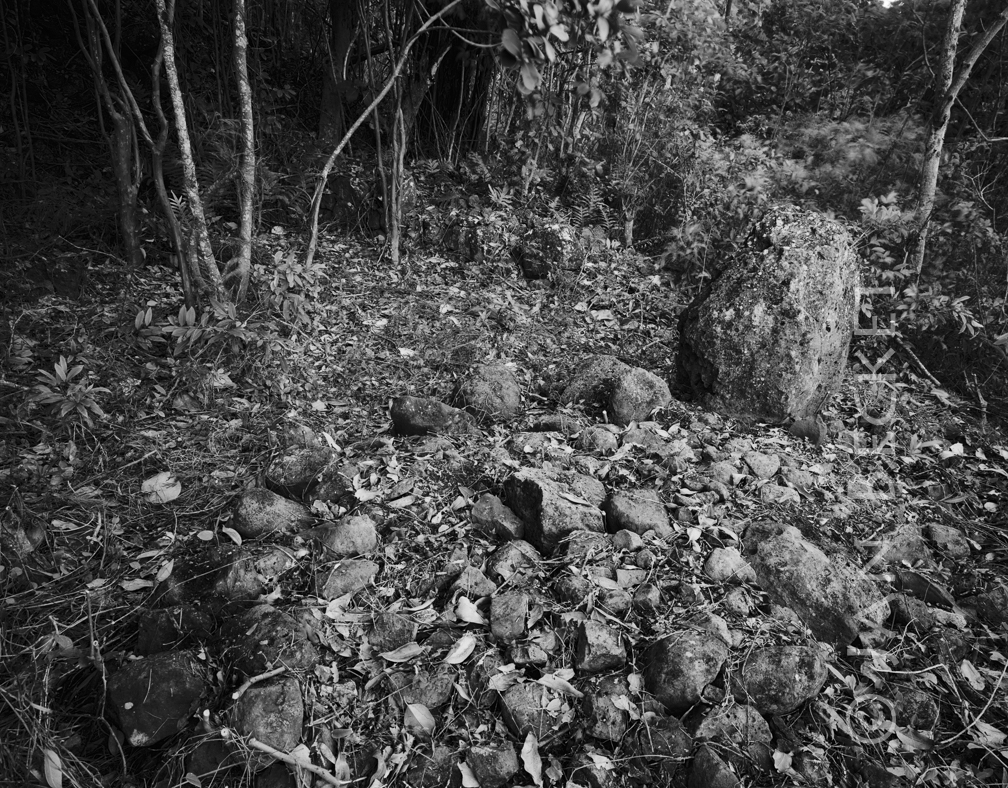 Kaunihokahi 1, 2000
1923 hits
An upright stone and low platform within the large heiau, mostly looted for its stones by the Hauʻula Dairy decades ago.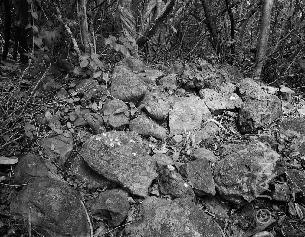 Kaunihokahi 3, 1992
1924 hits
A small ahu remaining at Kaunihokahi.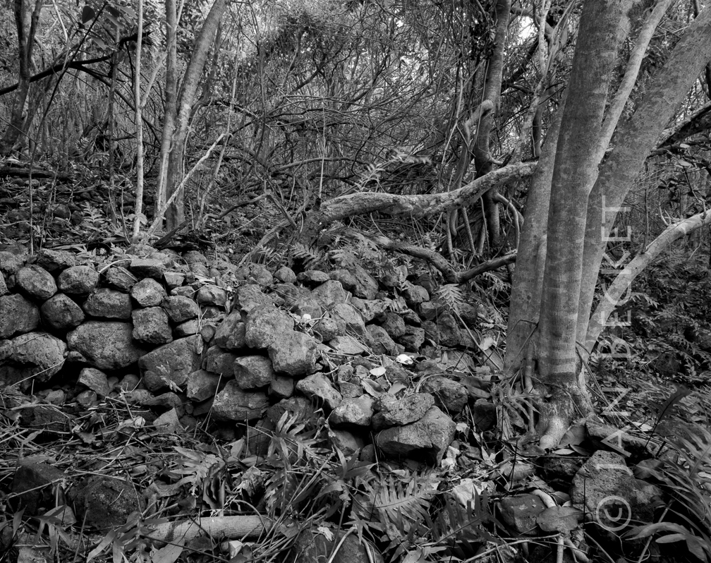 Kaunihokahi, 2014
2601 hits
An intact corner of Kaunihokahi Heiau, its stones mostly taken by Hauʻula Dairy. Impressive earth terracing remains on this large structure.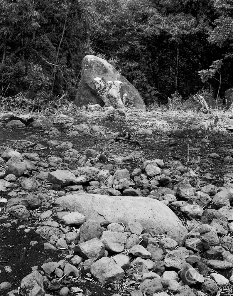 Maunawila 3, 2014
1928 hits
The most prominent stone remaining at Maunawila, close to a large flat pōhaku in the central platform.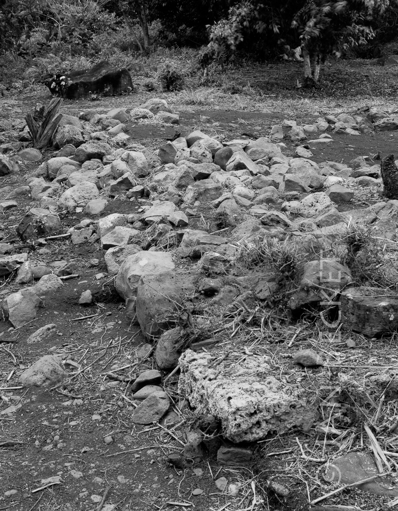 Maunawila 5, 2014
1798 hits
Note the dressed limestone slabs - very rare on Oʻahu structures.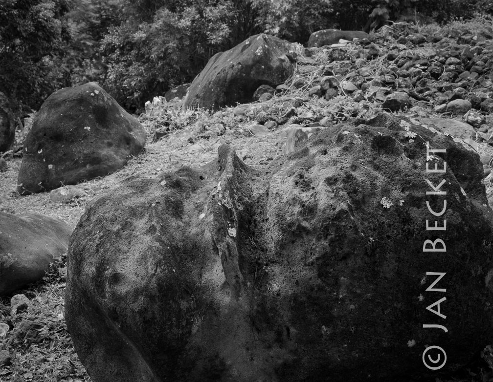 Maunawila 7, 2015
1830 hits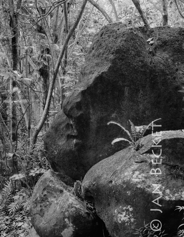 Maunawila 8, 2015
1859 hits
Note the face in the stone.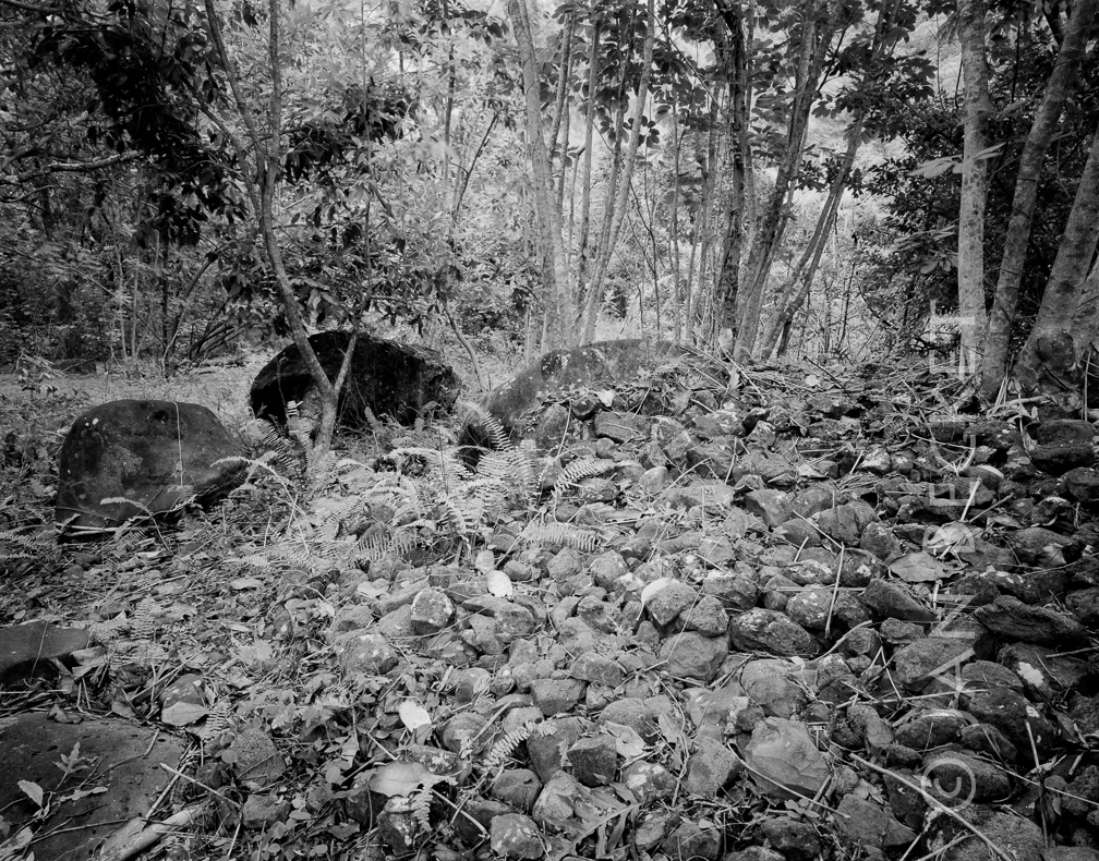 Maunawila Heiau
1827 hits
Before the heiau was cleared. McAllister made the comment in his 1933 survey that Maunawila was marked by a large number of randomly-placed large boulders.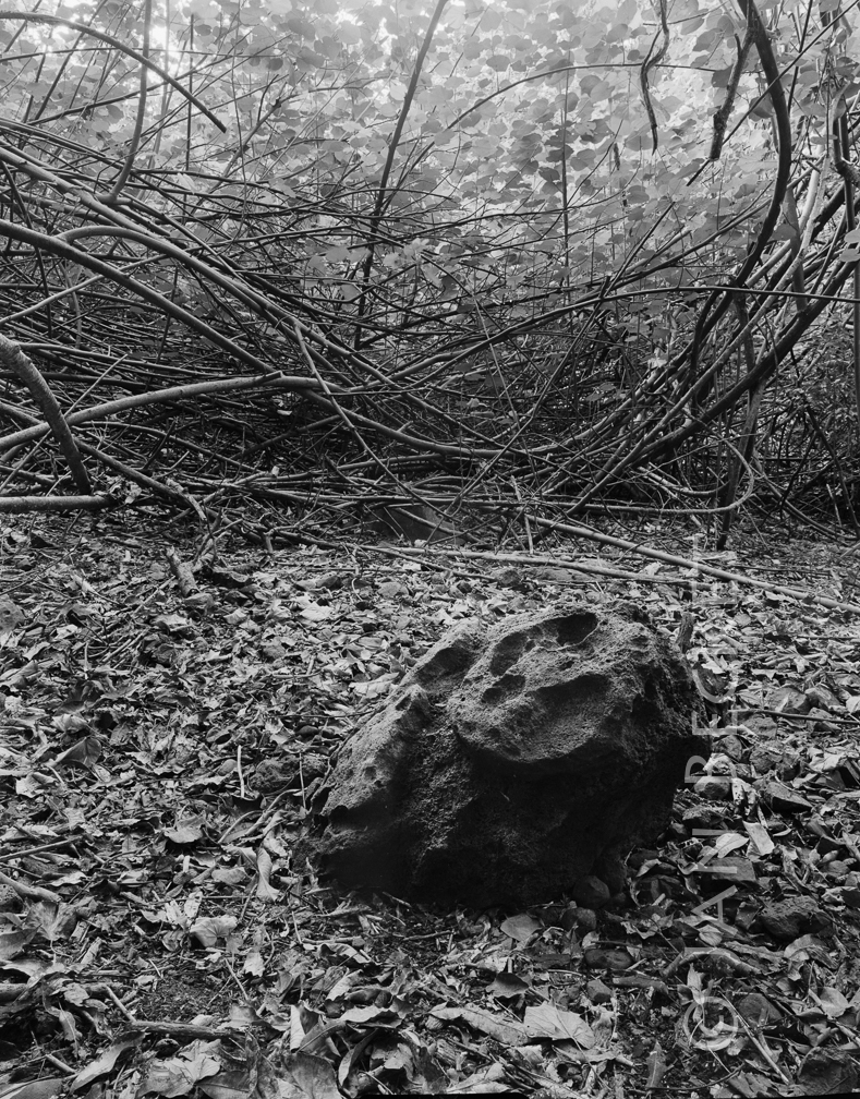 Maunawila 9, 1993
1893 hits
This small pōhaku sat in an area paved with ʻiliʻili (small stones), which is difficult to see because of all of the leaves.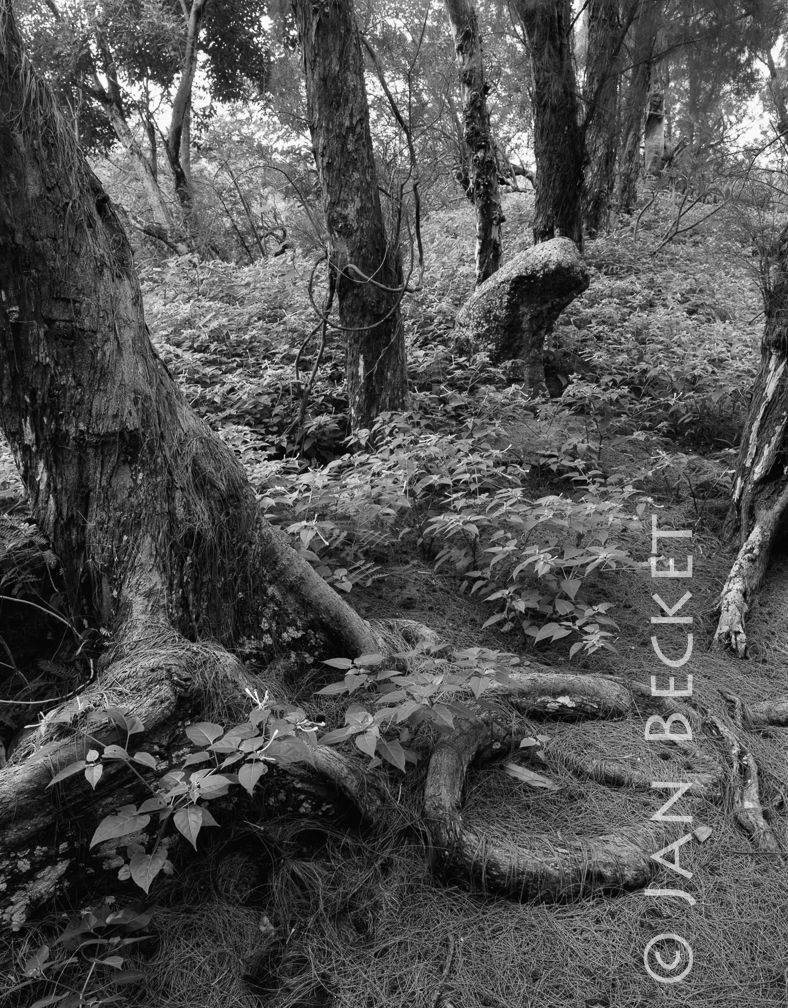 Hanawao 1, 1990
1796 hits
The striking upright pōhaku remaining at Hanawao / Kanawao.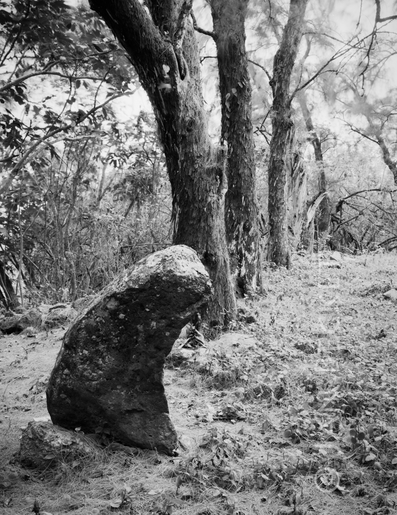 Hanawao, 2017
1707 hits
The striking upright pōhaku remaining at Hanawao. Althought McAllister uses the name "Hanawao," the family that cares for its graves at the heiau suggests the name "Kanawao," which has four possible translations in Nā Puke Wehewehe. "Hanawao" has no suggested translations.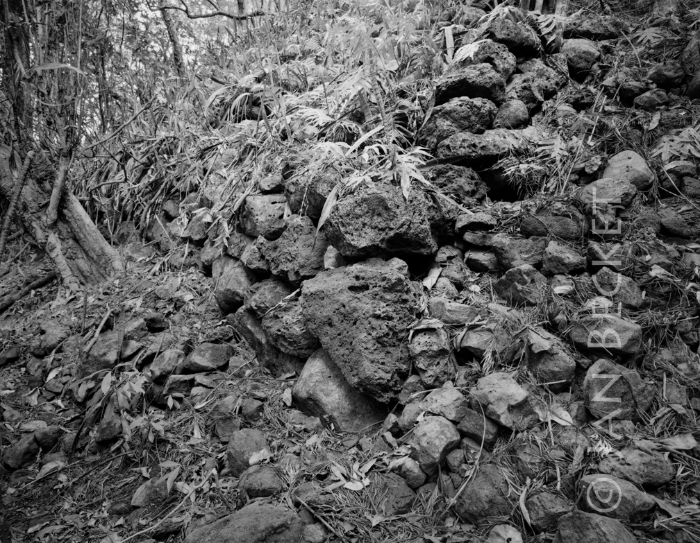 Hanawao, 2017
1679 hits
A lower corner of Hanawao / Kanawao. This is the most intact part of the heiau. Althought McAllister uses the name "Hanawao," the family that cares for its graves at the heiau suggests the name "Kanawao," which has four possible translations in Nā Puke Wehewehe. "Hanawao" has no suggested translations.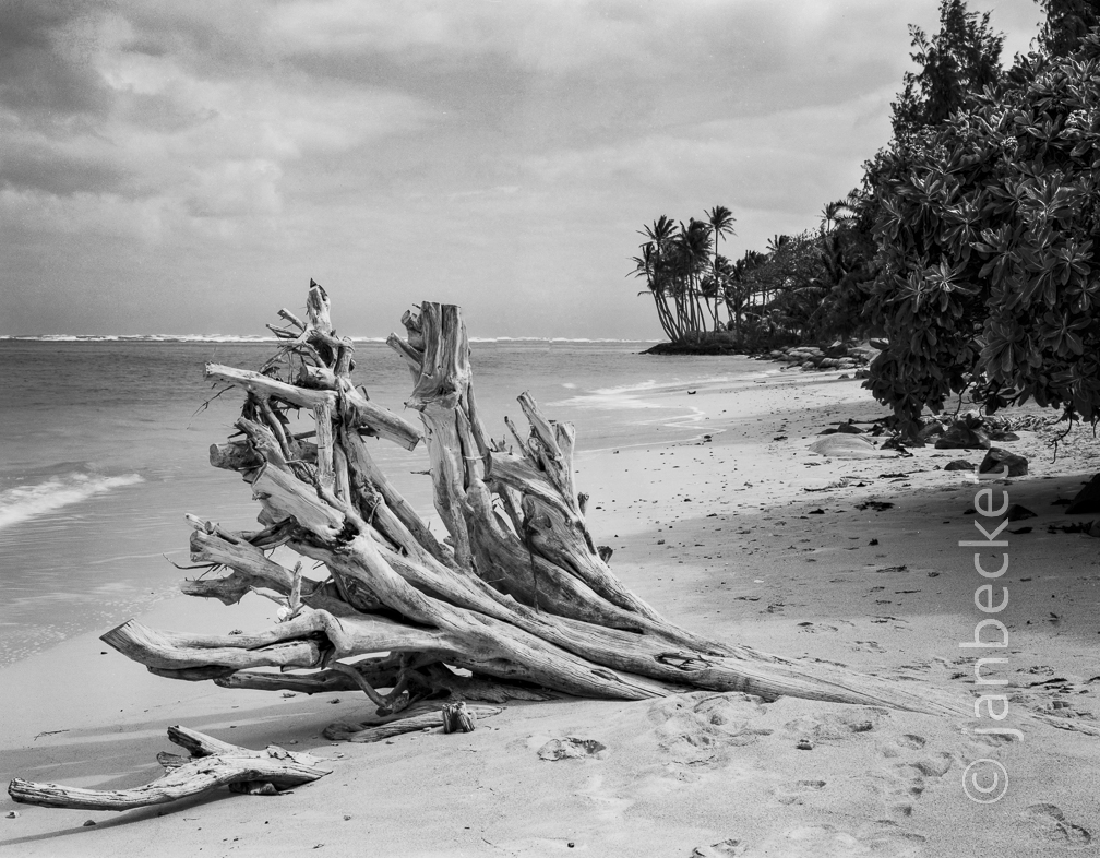 17-2 Kaumakaʻulaʻula
1706 hits
A possible location for Kaumakaʻulaʻula is the point in the distance, based on McAllisterʻs description of the heiau.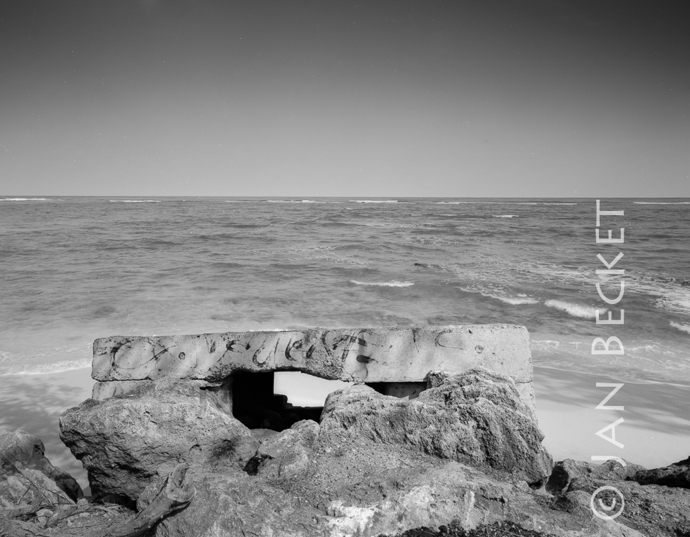 Kalae o Kuonopuaʻa, 2008
2352 hits
Where the koʻa used to stand, according to McAllister. He comments that it was destroyed when the present road was built, and that one was never supposed to walk behind it. In the image is the WWII fortification that stands at the point where McAllisterʻs vague map places the fishing shrine.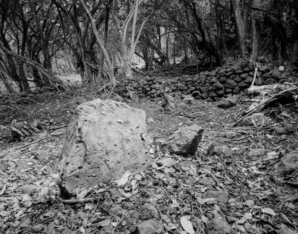 Site 296
1626 hits
The largest remaining heiau in Koʻolauloa, mostly intact.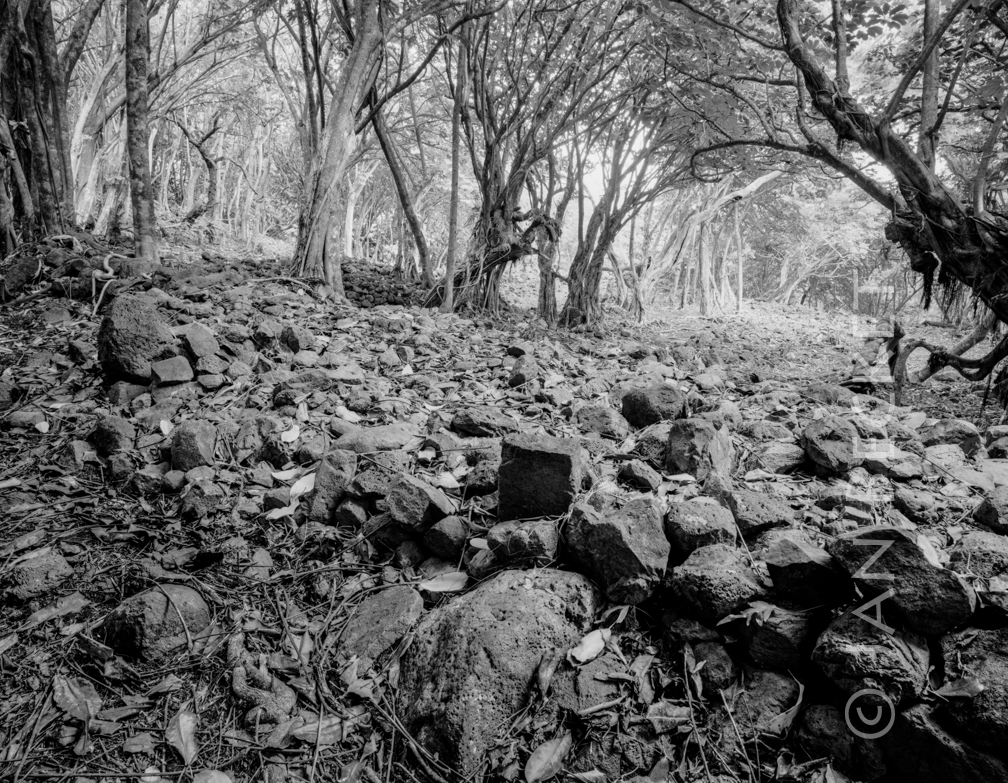 Site 296
1642 hits
The largest remaining heiau in Koʻolauloa, mostly intact.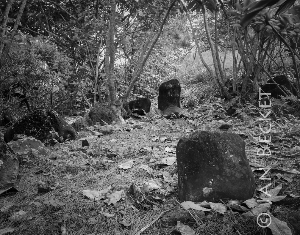 Kapaʻeleʻele 1, 1990
1829 hits
A shrine for attracting schools of akule (bigeye scad) to Kahana Bay. The stone in the foreground was endangered by erosion when this image was made. It may have fallen down a gully by now.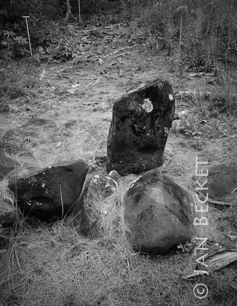 Kapaʻeleʻele 3, 1990
2060 hits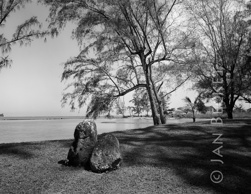 Huilua 1
1793 hits
Two stones that might - or might not - be remnants from the koʻa (fishing shrine) at Huilua. The shrine was identified by McAllister in his 1930s survey of Oʻahu, but has not been located since. In any case, the shrine lay not far from Huilua.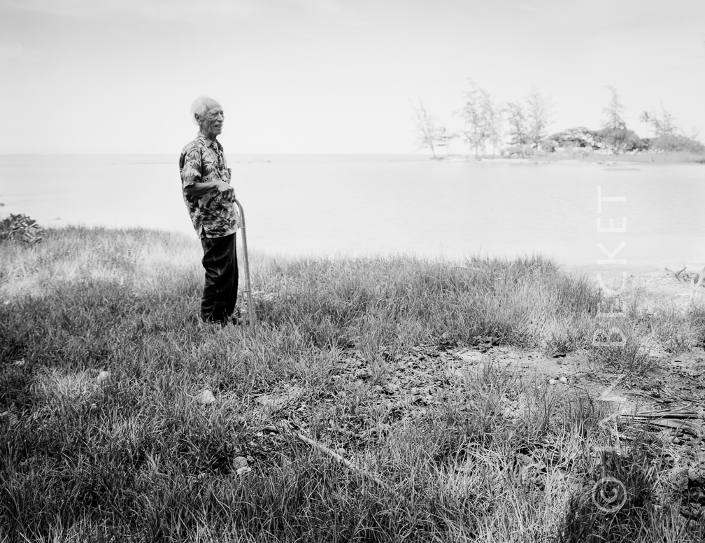 Huilua loko iʻa, Joe Kekona, Kahana Bay, 1998
2082 hits
Joseph Kekona was the last traditional keeper of Huilua loko iʻa (fishpond) in the 1940s. In this photo he is in his 90s, but still full of stories of the pond, a place for mullet.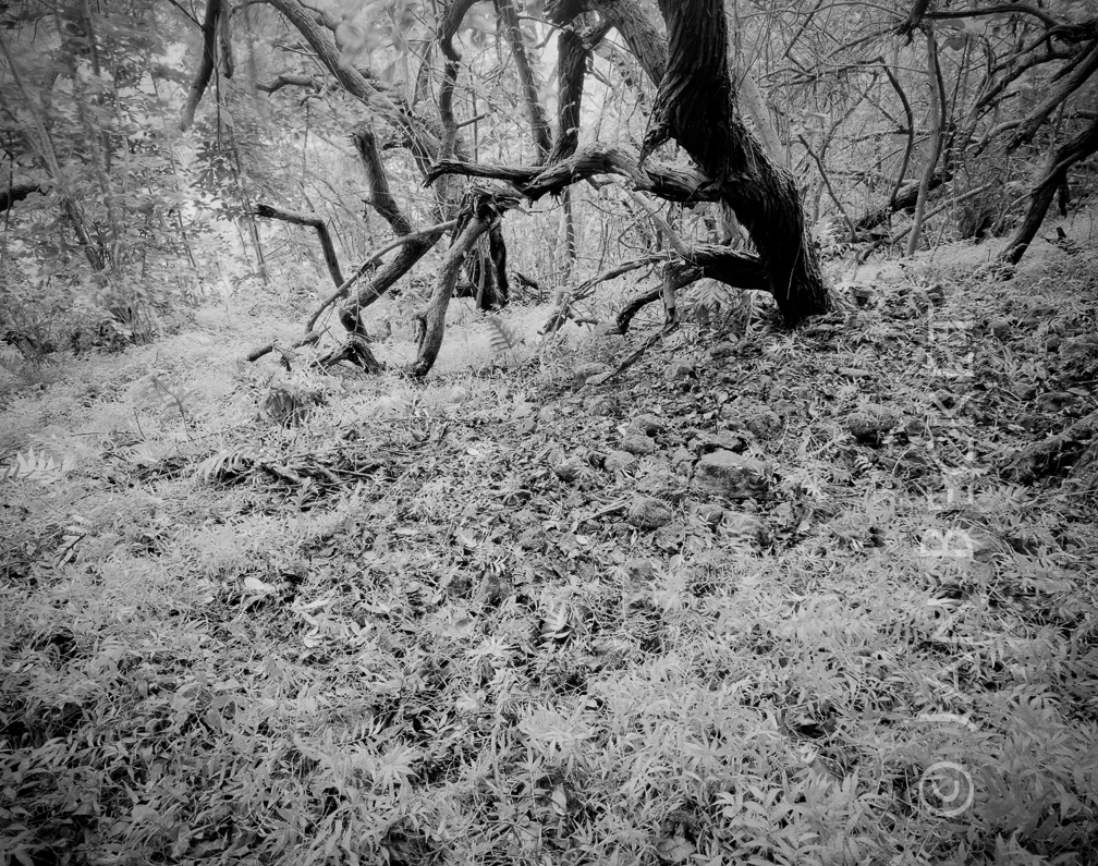 Puʻu Makani Heiau
1771 hits
Only ʻili ʻili (small stone paving) remains at Puʻu Makani. Since the heiau sites on a steep slope directly above the road, one might suspect that its larger stones were rolled downhill to create the bed of the highway, as happened at other heiau elsewhere on Oʻahu.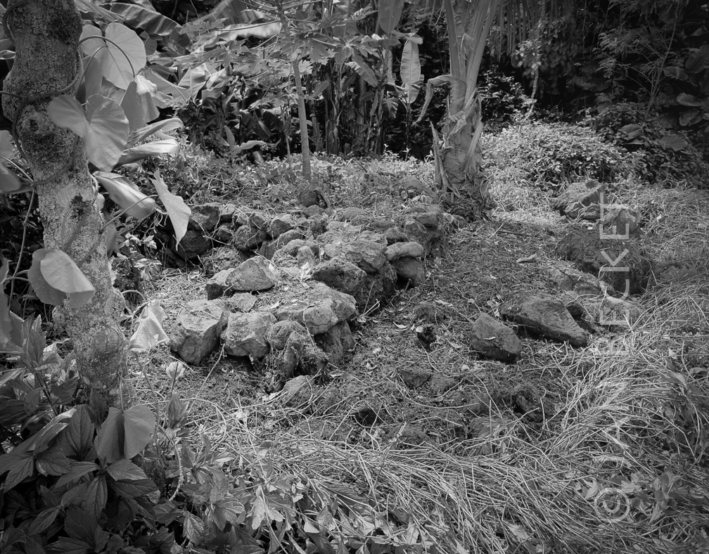 Makaua
1847 hits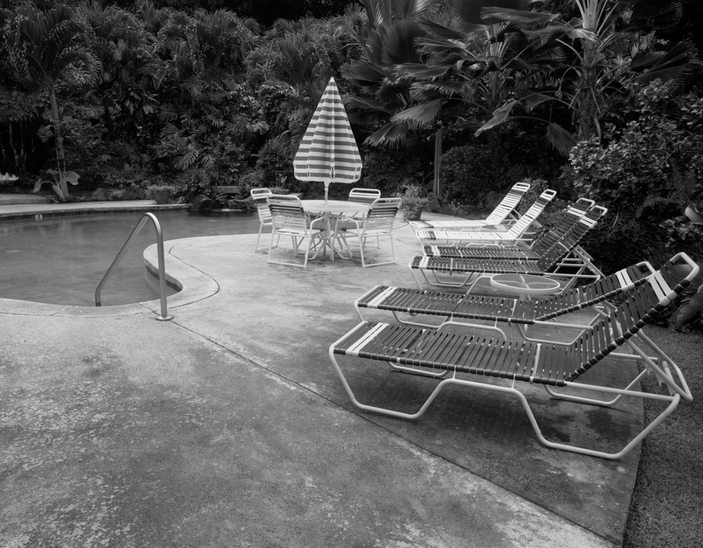 Site 304 in Kaʻaʻawa, 1994
2531 hits
A member of the Auld family who grew up in this house reports that the heiau was located there in his youth. The house was subsequently purchased by a foreign family, and a swimming pool constructed where the main structure of the heiau was said to be. A section of the very large structure may remain in the adjacent yard. Other members of the family, however, cannot recall the heiau - which may have been destroyed much earlier.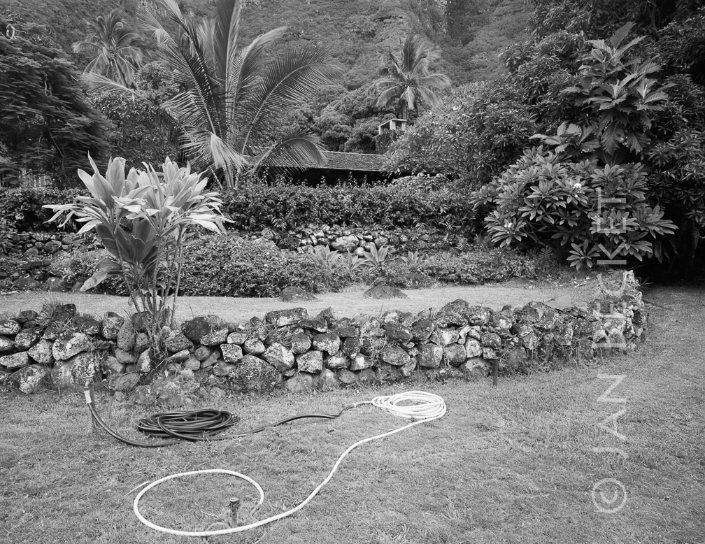 Site 304 in Kaʻaʻawa, 1994
2469 hits
A member of the Auld family who grew up in this house reports that the heiau was located there in his youth. The house was subsequently purchased by a foreign family, and a swimming pool constructed where the main structure of the heiau was said to be. A section of the very large structure may remain in the adjacent yard. Other members of the family, however, cannot recall the heiau - which may have been destroyed much earlier.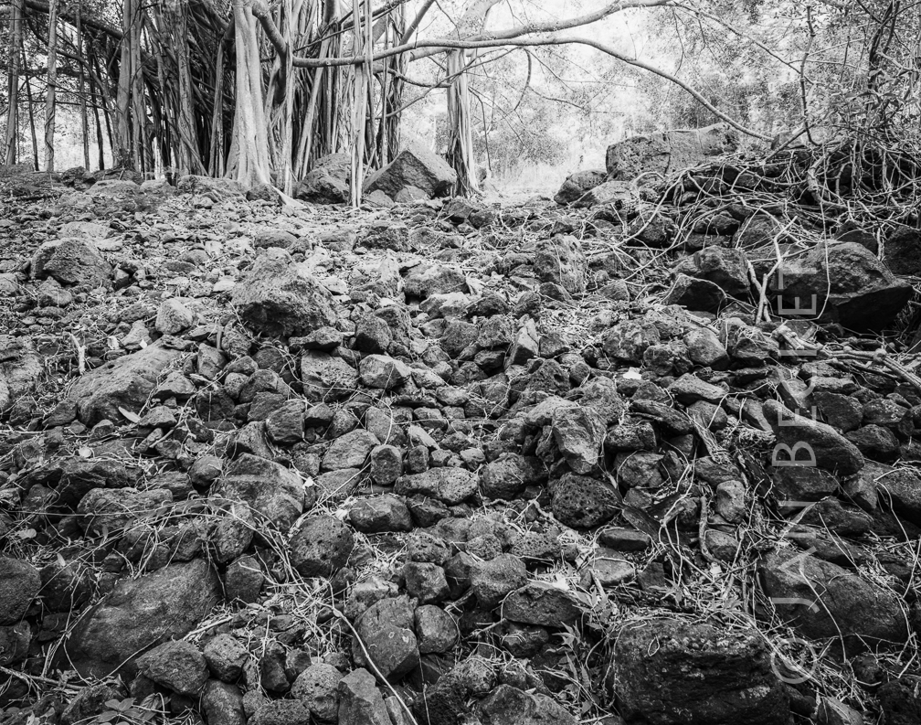 Kaʻaʻawa 2a, 2006
1890 hits
A large, unrecorded structure mauka of the road, at the foot of the pali. It is made up of an incline, terraced and paved in areas with ʻili ʻili, and a large C-shaped structure on the north side. This may be a heiau or the residence of a person with some rank and status.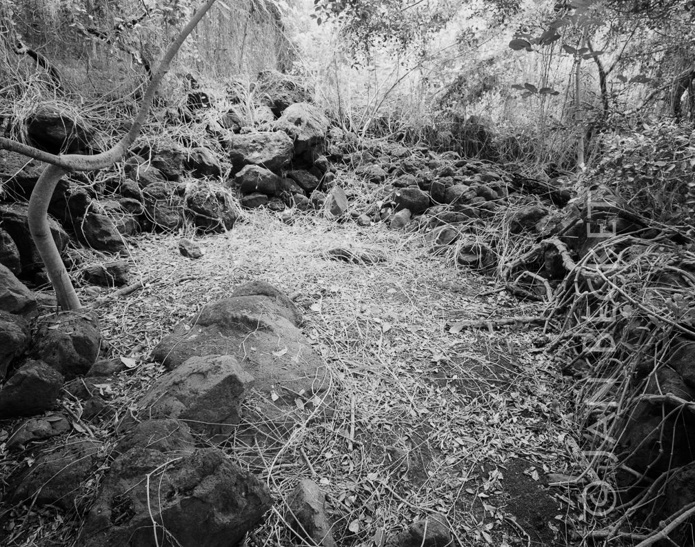 Kaʻaʻawa 2b, 2006
1681 hits
A large, unrecorded structure mauka of the road, at the foot of the pali. It is made up of an incline, terraced and paved in areas with ʻili ʻili, and a large C-shaped structure on the north side. This may be a heiau or the residence of a person with some rank and status.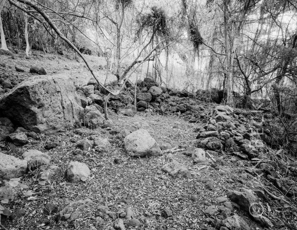 Kaʻaʻawa 2, 2017
1755 hits
The same enclosure as in a 2006 image. A large, unrecorded structure mauka of the road, at the foot of the pali. It is made up of an incline, terraced and paved in areas with ʻili ʻili, and a large C-shaped structure on the north side. This may be a heiau or the residence of a person with some rank and status.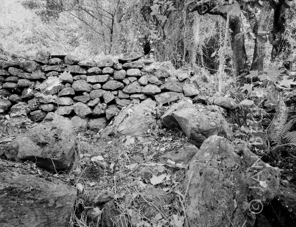 Kaʻaʻawa 1, 2017
1733 hits
A substantial platform heiau, with evidence of occasional ceremonial visits - kava root in 2006 and a large wooden bowl in 2017.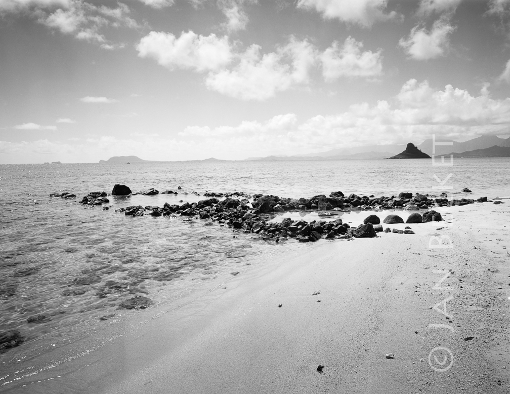 Pāhulu 2, 1995
1894 hits
Probably the remaining feature of Pāhulu Heiau. The stones are where McAllister described them: 600 feel north of the ruins of the old sugar mill, out in the water. An elderly member of the family that owns the land across the road recalls a platform there which perhaps was connected with the heiau. All features would have been destroyed by the WWII airfield that occupied that field.