In Hawaiian language the term ’kīpuka‘ refers to the island of forest left untouched by a surrounding lava flow as it splits into two rivers which later rejoin, heading downhill to the sea. Many of these images record cultural kīpuka, images of one landscape being surrounded, sometimes being submerged or sometimes re-emerging in the midst of another. See the essay "Apologia" in the link above.

 Kapuanoni, 2004
 Kapuanoni, 2008
 Hāpaialiʻi 2013
 Makoleʻa, 2008
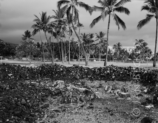 Makoleʻa, 2008
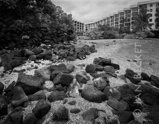 Keʻekū, 2005
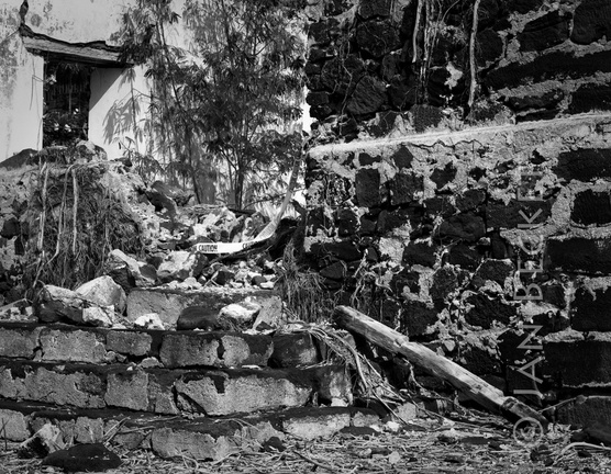 ʻŌhiʻamukumuku, 2007
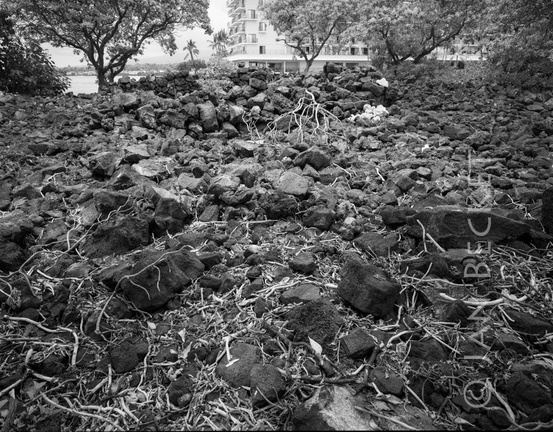 Hāpaiali’i Heiau, 2004
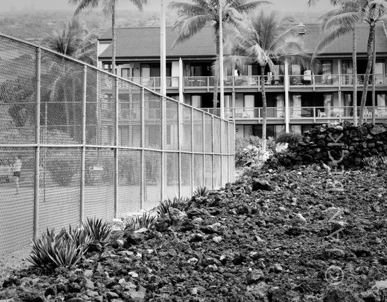 Paniau, 2006
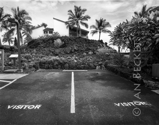 Iniʻikawai Heiau, 2005
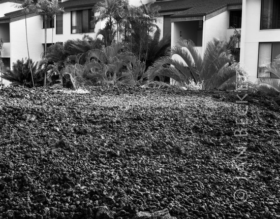 Iniʻikawai Heiau, 2004
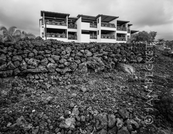 Kualiʻiliʻi Heiau, 2004
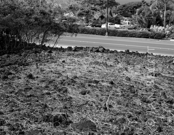 Holualoa, 2007
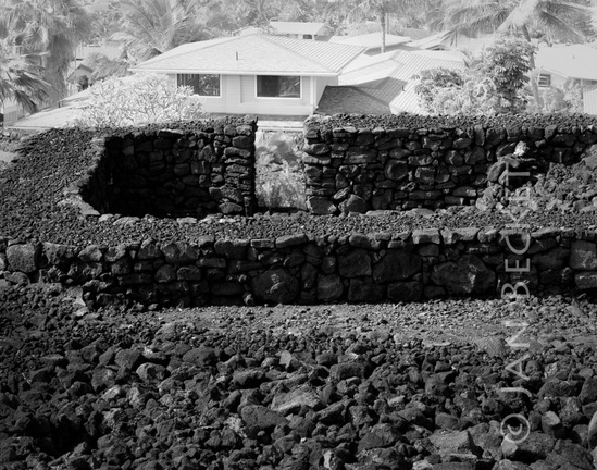 Kealakowaʻa, 2006
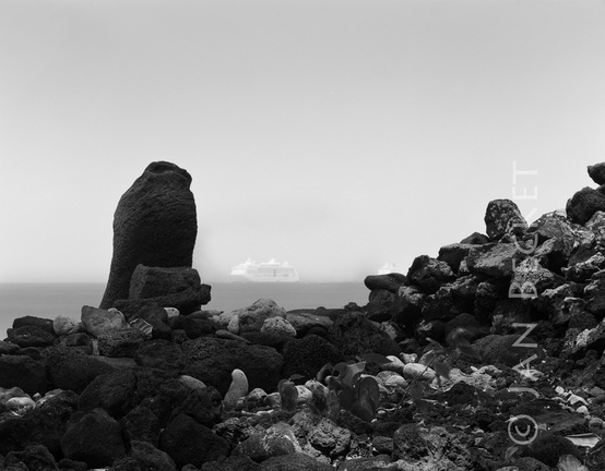 Keolanahihi, 2008
 Keolanahihi, 2008
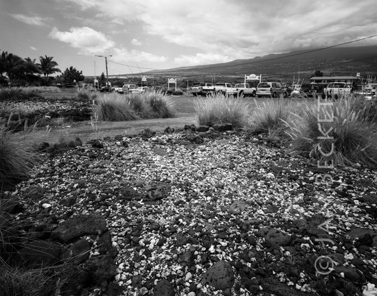 Ālula, 2005
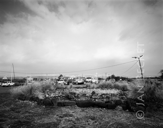 Ālula, 2005
 Ahuena Heiau, 2006
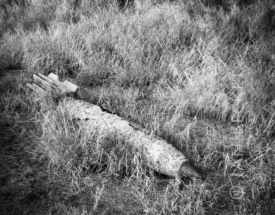 Ordnance at Kahoʻolawe, 2015
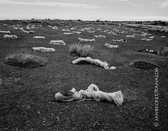 Kahoʻolawe, 2017
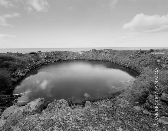 Kahoʻolawe, 2017
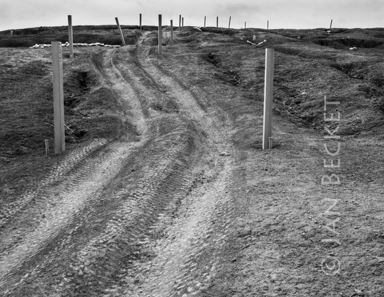 UXO markers, Kahoʻolawe, 2016
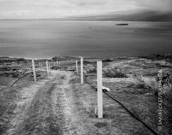 Kahoʻolawe, 2017
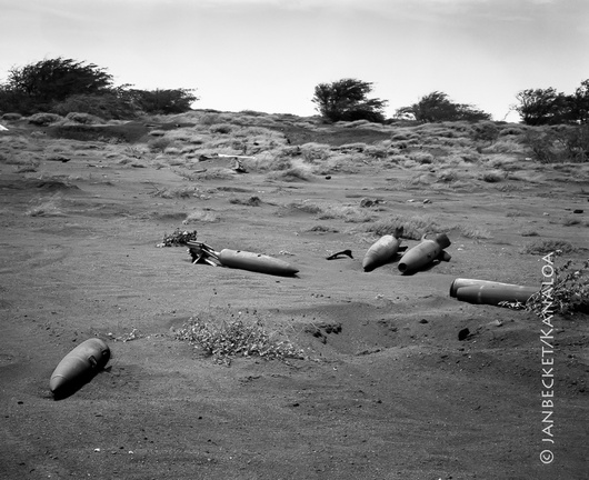 UXO at Kahoʻolawe, 1994
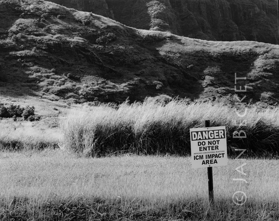 Off-limits area, Mākua, 2005
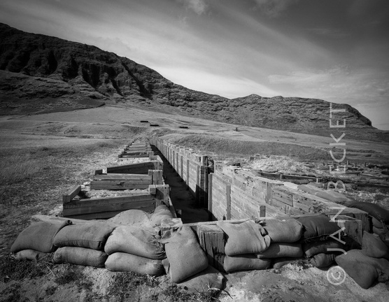 US Army trench, Mākua Valley, 2002
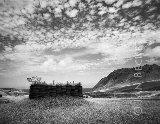 Grenade training enclosure, Mākua, 2005
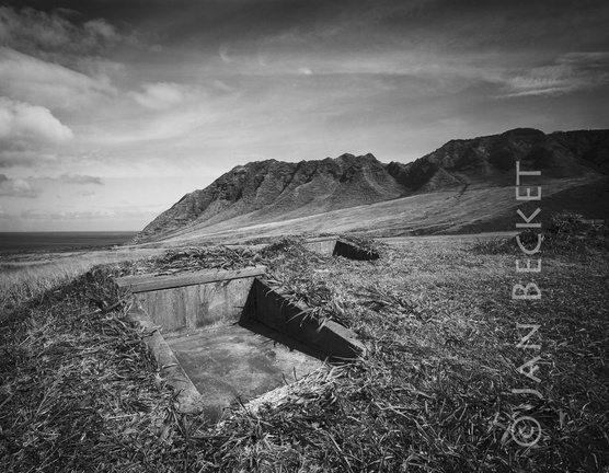 Training emplacement, Mākua, 2003
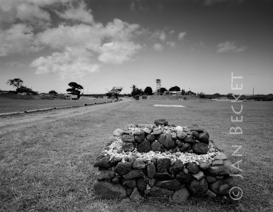 The ahu at Mākua, 2005
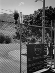 Main gate, Mākua, 2009
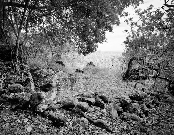 Enclosure at Waʻahila, 1998
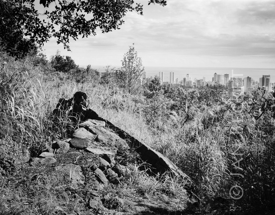 Pōhaku within an enclosure, Waʻahila, 2002
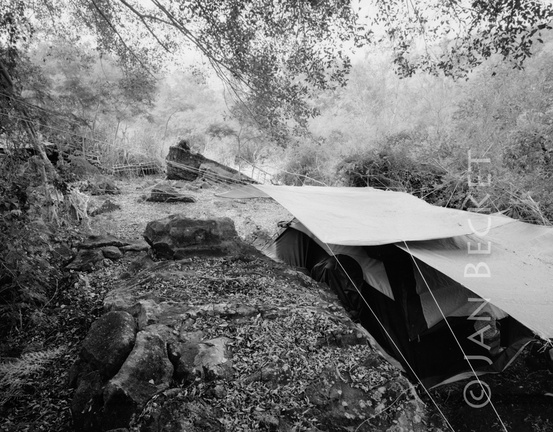 Pōhaku and homeless camp at Wa’ahila, 2010
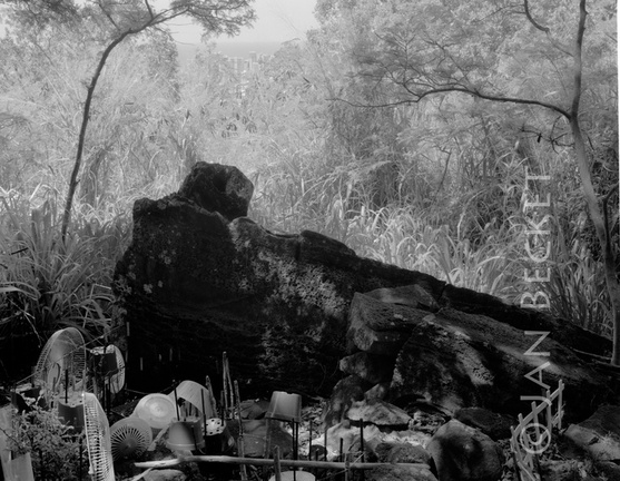 Pōhaku at Waʻahila, 2013
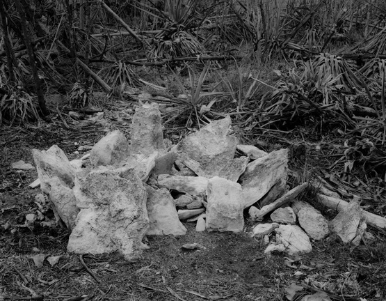 Small ahu (shrine) near the main gate, Kalaeloa, 2001
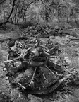 Area 1753 - engine from WW II plane crash
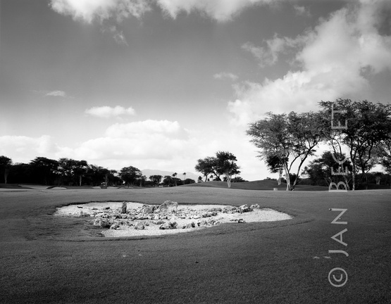 ʻEwa Beach International Golf Course
 Unusual zig-zag structure, Kalaeloa, 2008
 Platform in area 1746, Kalaeloa, 2001
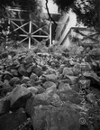 Waipao Heiau, Hālawa
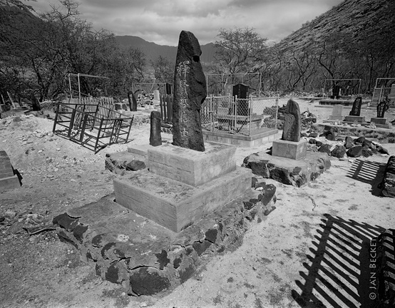 Pu’upāhe’ehe’e Heiau
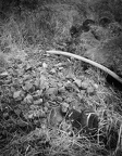 Hawea, 1994
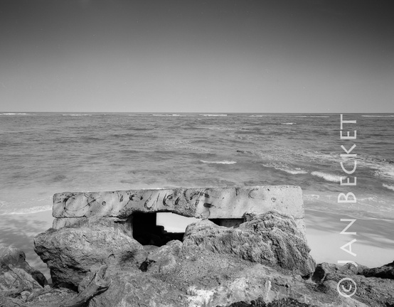 Kalae o Kuonopuaʻa, 2008
 Site 304 in Kaʻaʻawa, 1994
 Site 304 in Kaʻaʻawa, 1994
 Kukiokāne, 2001
 Haʻikū, 1990
 Pahuamaui, 2013
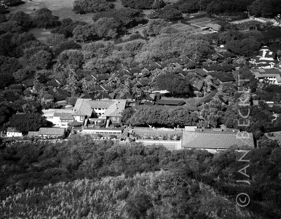 Papaʻenaʻena, 2013